Strawberry Range, Malheur National Forest

Gallery (6)
Map

Map

Gallery
Facts and practical information
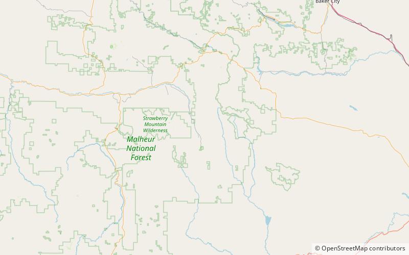
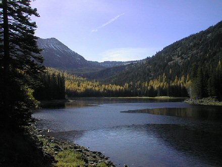
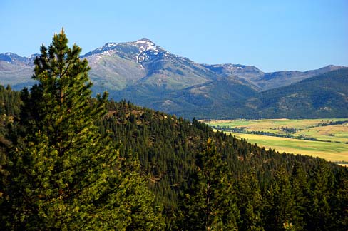
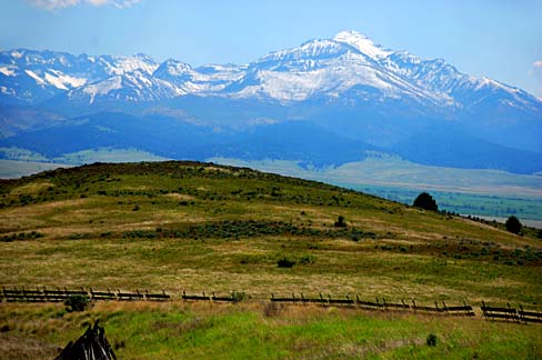
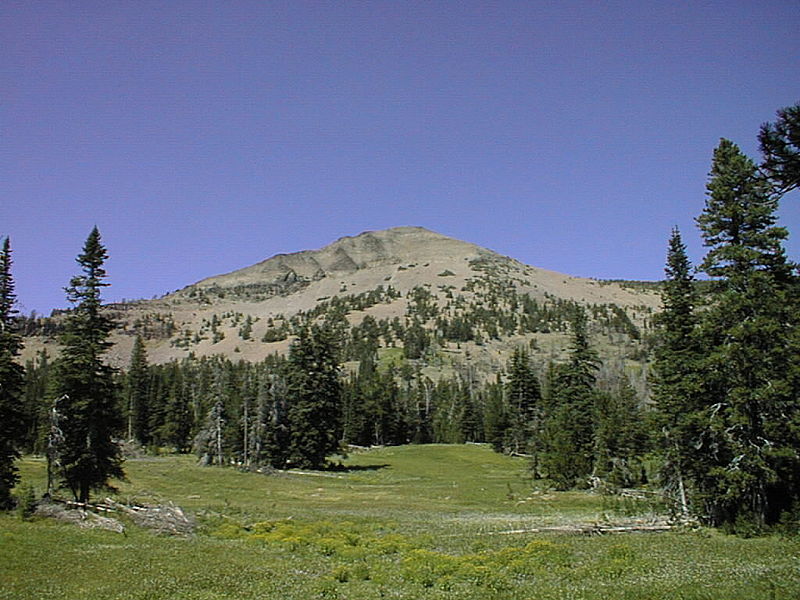
The Strawberry Range, also known as the Strawberry Mountains, is a mountain range in the U.S. state of Oregon. It is east of John Day, within Malheur National Forest. The highest peak is Strawberry Mountain. ()
Maximum elevation: 9022 ftCoordinates: 44°18'30"N, 118°35'2"W
Address
Malheur National Forest
ContactAdd
Social media
Add
Day trips