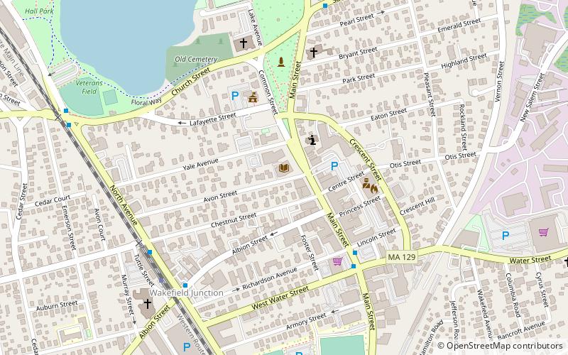
Flanley's Block, Wakefield
Map

Map

Facts and practical information
Flanley's Block is a historic commercial building at 349–353 Main Street in Wakefield, Massachusetts, US. Built about 1895, it is a well-preserved local example of late 19th-century Italianate commercial architecture. The building was listed on the National Register of Historic Places in 1989. ()
Built: 1895 (131 years ago)Coordinates: 42°30'16"N, 71°4'19"W
Address
Wakefield (Downtown Wakefield)Wakefield
ContactAdd
Social media
Add
Day trips
Flanley's Block – popular in the area (distance from the attraction)
Nearby attractions include: Church–Lafayette Streets Historic District, Meeting House of the Second Parish in Woburn, Lucius Beebe Memorial Library, House at 40 Crescent Street.
Frequently Asked Questions (FAQ)
Which popular attractions are close to Flanley's Block?
Nearby attractions include Lucius Beebe Memorial Library, Wakefield (1 min walk), Yale Avenue Historic District, Wakefield (3 min walk), House at 25 Avon Street, Wakefield (4 min walk), Common District, Wakefield (4 min walk).
How to get to Flanley's Block by public transport?
The nearest stations to Flanley's Block:
Train
Train
- Wakefield (7 min walk)


