Franklin Street Bridge, Chicago
Map
Gallery
Facts and practical information
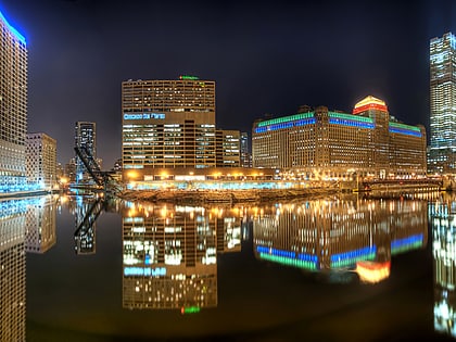
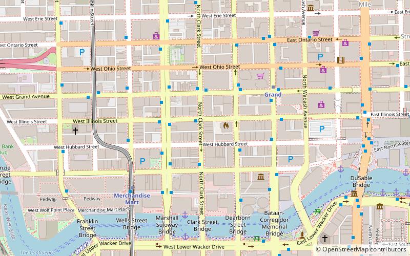
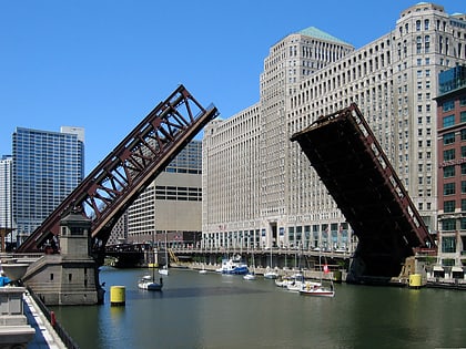
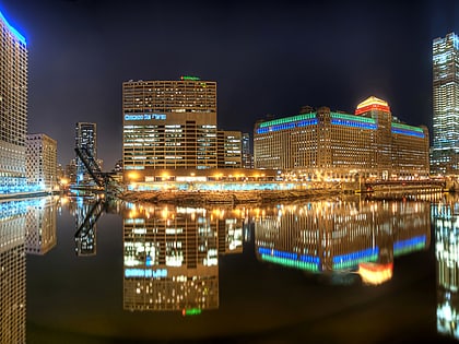
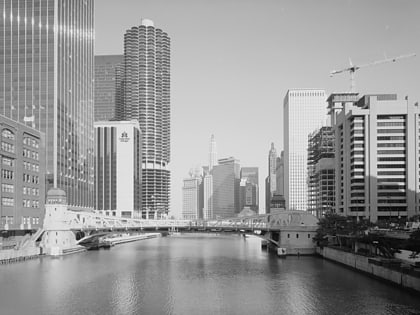
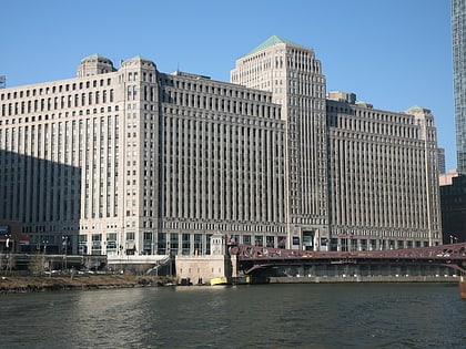
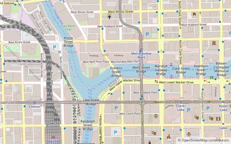
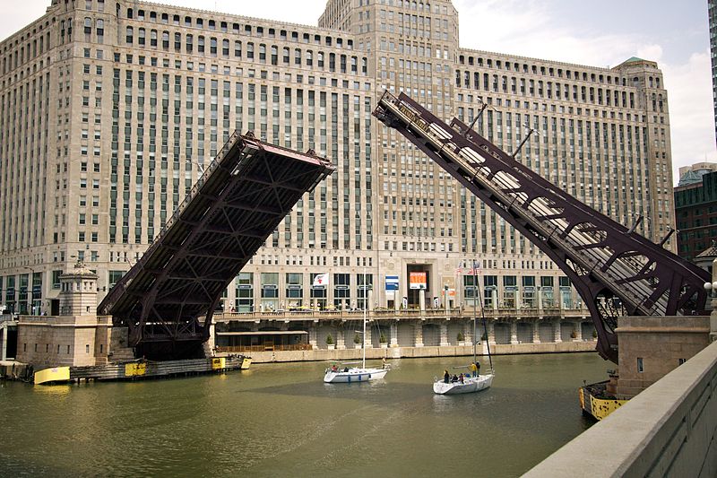
The Franklin–Orleans Street Bridge, commonly known as the Franklin Street Bridge, is a bascule bridge over the Chicago River, in Chicago, Illinois, United States. It was built in October 1920, and is located directly southwest of the Merchandise Mart. Connecting the Near North Side with "The Loop," is at the junction of the branches of the river, lying directly west of the Wells Street Bridge. It carries four lanes of traffic in the northbound direction, and sidewalks are available on both sides of the bridge. ()
Opened: 1920 (106 years ago)Length: 320 ftWidth: 62 ftCoordinates: 41°53'15"N, 87°38'9"W
Day trips
Franklin Street Bridge – popular in the area (distance from the attraction)
Nearby attractions include: Wolf Point, Civic Opera House, Frontera Grill, Wells Street Bridge.
Frequently Asked Questions (FAQ)
Which popular attractions are close to Franklin Street Bridge?
Nearby attractions include Merchandise Mart, Chicago (2 min walk), 333 West Wacker, Chicago (2 min walk), Wells Street Bridge, Chicago (3 min walk), Wolf Point, Chicago (4 min walk).
How to get to Franklin Street Bridge by public transport?
The nearest stations to Franklin Street Bridge:
Bus
Metro
Train
Bus
- Wacker & Lake • Lines: 125 (3 min walk)
- Franklin & Lake/West Wacker • Lines: 37 (3 min walk)
Metro
- Merchandise Mart • Lines: Brown, Purple (4 min walk)
- Clark/Lake • Lines: Blue, Brown, Green, Orange, Pink, Purple (7 min walk)
Train
- Ogilvie Transportation Center (9 min walk)
- Chicago Union Station (16 min walk)
 Rail "L"