Mauna Ulu, Hawaii Volcanoes National Park
Map
Map

Facts and practical information
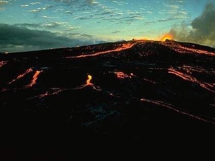
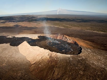
Mauna Ulu is a volcanic cone in the eastern rift zone of the Kīlauea volcano on the island of Hawaii. It falls within the bounds of Hawaiʻi Volcanoes National Park. Mauna Ulu was in a state of eruption from May 1969 to July 1974. ()
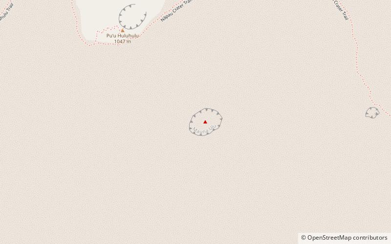
Coordinates: 19°22'2"N, 155°12'7"W
Day trips
Mauna Ulu – popular in the area (distance from the attraction)
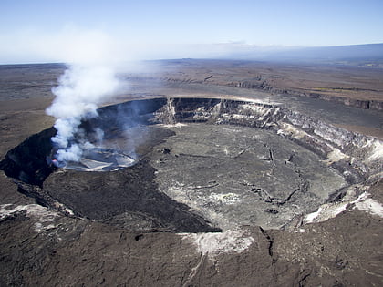
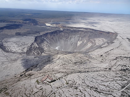
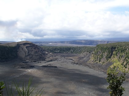
Nearby attractions include: Halemaumau Crater, Kīlauea, Kīlauea Iki, Devastation Trail.
