Arlington Mills Historic District, Methuen
Map

Map

Facts and practical information
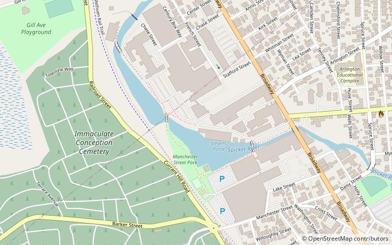
The Arlington Mills Historic District encompasses a major 19th century textile manufacturing complex in Lawrence and Methuen, Massachusetts. Developed between 1865 and 1925, it was one of the state's largest textile operations at its height. At the time of its listing on the National Register of Historic Places in 1985, the mill complex was owned by Malden Mills. ()
Coordinates: 42°42'56"N, 71°10'52"W
Address
Lawrence (Tower Hill)Methuen
ContactAdd
Social media
Add
Day trips
Arlington Mills Historic District – popular in the area (distance from the attraction)
Nearby attractions include: Methuen Memorial Music Hall, High Service Water Tower and Reservoir, Lawrence Street Cemetery, Greycourt State Park.
Frequently Asked Questions (FAQ)
Which popular attractions are close to Arlington Mills Historic District?
Nearby attractions include Urias Hardy House, Methuen (14 min walk), High Service Water Tower and Reservoir, Lawrence (16 min walk), Bellevue Cemetery, Lawrence (16 min walk), Arlington–Basswood Historic District, Lawrence (16 min walk).
How to get to Arlington Mills Historic District by public transport?
The nearest stations to Arlington Mills Historic District:
Bus
Bus
- Buckley Transportation Center • Lines: 83 (27 min walk)


