Daniel Drake Park, Cincinnati

Map
Facts and practical information
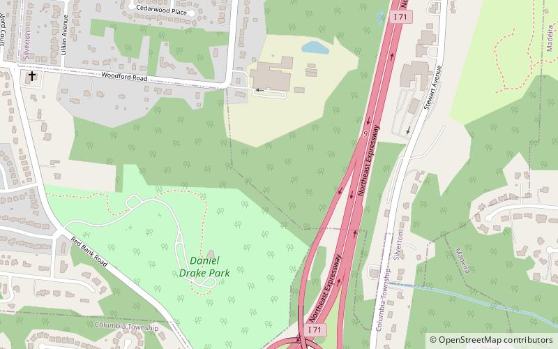
Daniel Drake Park is a Cincinnati park located on Redbank Road opposite Onondago Avenue in the neighborhood of Kennedy Heights, named after Daniel Drake. The park is owned and operated by the Cincinnati Park Board. The land was purchased by the city in 1957 and expanded in 1959. The shelter was designed by the architects Arend and Arend. ()
Elevation: 682 ft a.s.l.Coordinates: 39°10'37"N, 84°24'1"W
Address
SilvertonCincinnati
ContactAdd
Social media
Add
Day trips
Daniel Drake Park – popular in the area (distance from the attraction)
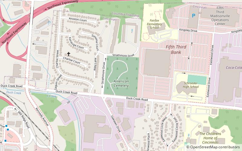
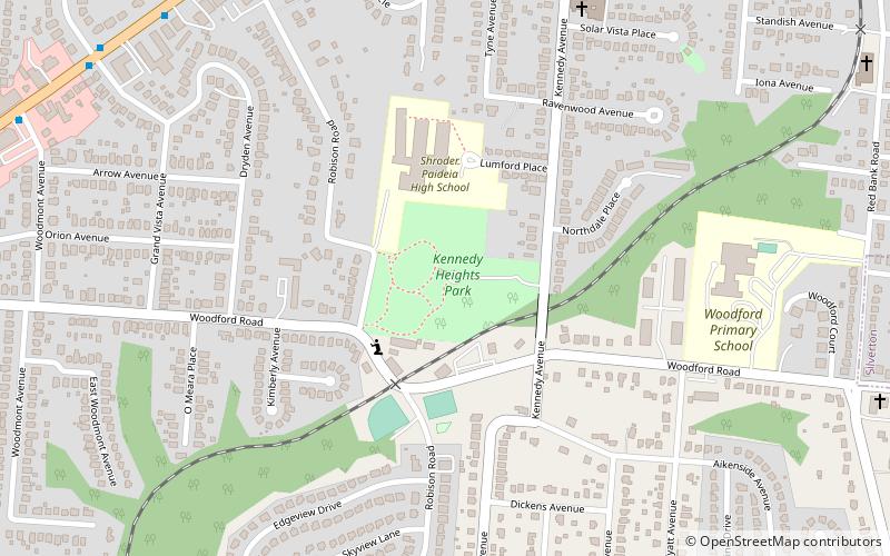
Nearby attractions include: The United American Cemetery, Crossroads Community Church, Kennedy Heights Park, Madison–Stewart Historic District.
Frequently Asked Questions (FAQ)
Which popular attractions are close to Daniel Drake Park?
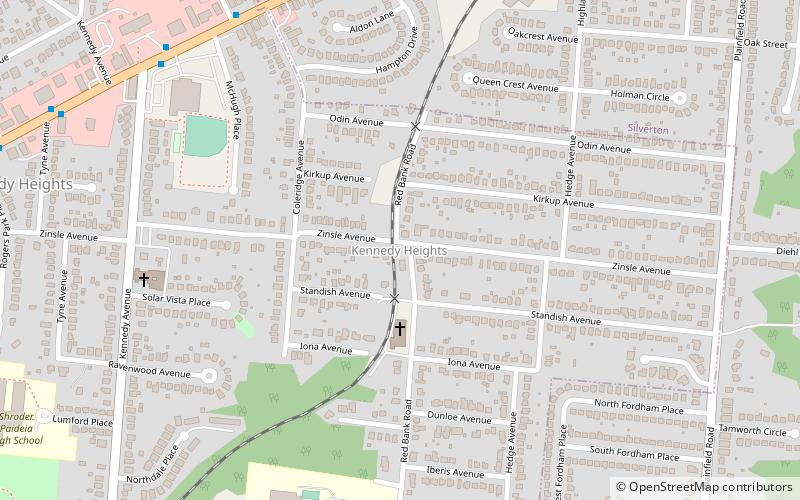
Nearby attractions include Kennedy Heights, Cincinnati (19 min walk), Kennedy Heights Park, Cincinnati (24 min walk).
How to get to Daniel Drake Park by public transport?
The nearest stations to Daniel Drake Park:
Bus
Bus
- Chandler St & Whetsel Ave • Lines: 11 (26 min walk)
- Whetsel Ave & Chandler St • Lines: 11 (26 min walk)


