Eastwood Historic District, Cincinnati

Gallery (1)
Map
Map
Facts and practical information
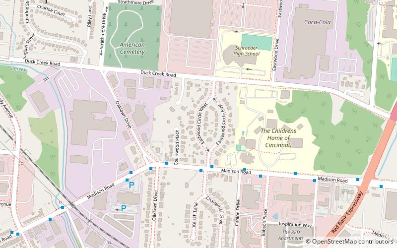
Eastwood Historic District is a registered historic district in Cincinnati, Ohio, listed in the National Register of Historic Places on February 25, 2005. It contains 86 contributing buildings. One of the unique aspects of the district are 10 models of kit houses from the Sears Modern Homes catalog. ()
Coordinates: 39°9'48"N, 84°24'39"W
Address
MadisonvilleCincinnati
ContactAdd
Social media
Add
Getting there by public transportation
Public transportation stops near this location
- Bus
 Bus
Bus
- Calculate routeMadison Rd & Charlemar Dr 3 min walk
Day trips


Frequently Asked Questions (FAQ)
Which popular attractions are close to Eastwood Historic District?
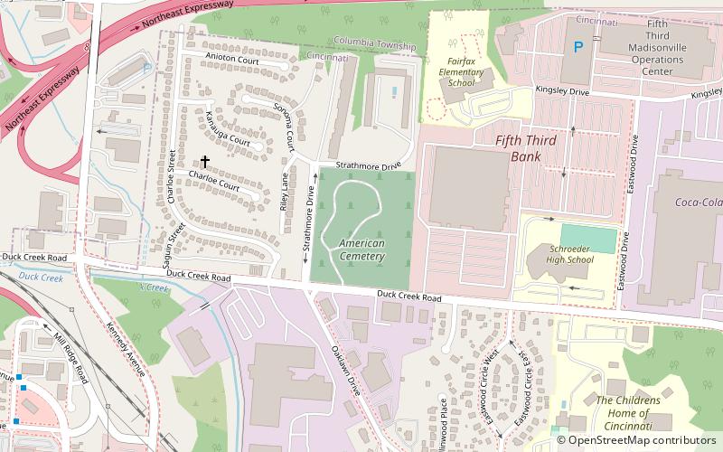
Nearby attractions include The United American Cemetery, Cincinnati (7 min walk), Crossroads Community Church, Cincinnati (19 min walk), Madison–Stewart Historic District, Cincinnati (20 min walk).
How to get to Eastwood Historic District by public transport?
The nearest stations to Eastwood Historic District:
Bus
Bus
- Madison Rd & Charlemar Dr • Lines: 11 (3 min walk)