Half Moon Bay State Beach, Half Moon Bay
Map
Gallery
Facts and practical information
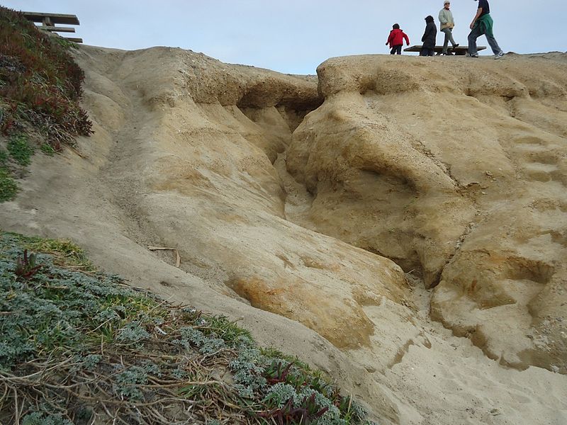
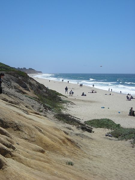
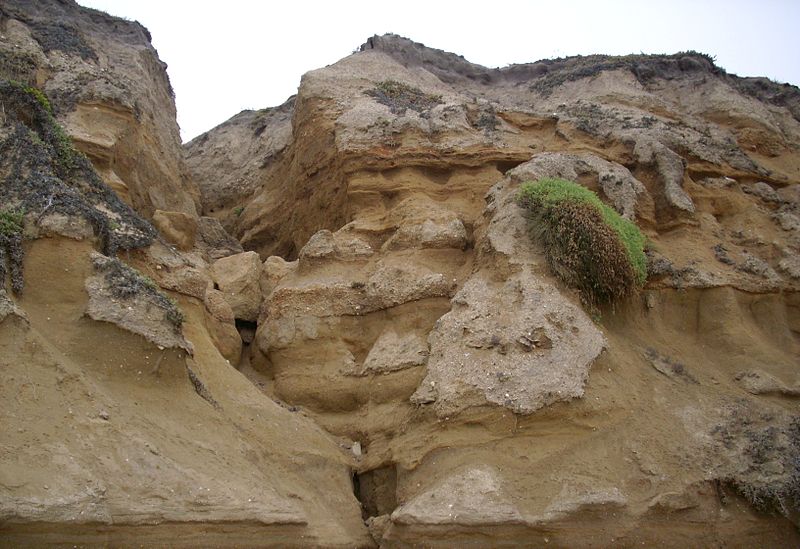
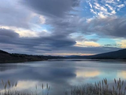
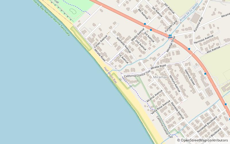
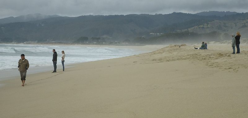
Half Moon Bay State Beach is a 4-mile stretch of protected beaches in the state park system of California, United States, on Half Moon Bay. From north to south it comprises Roosevelt, Dunes, Venice, and Francis Beaches. The 181-acre park was established in 1956. ()
Established: 1956 (70 years ago)Coordinates: 37°28'26"N, 122°26'56"W
Address
Half Moon Bay
ContactAdd
Social media
Add
Day trips
Half Moon Bay State Beach – popular in the area (distance from the attraction)
Nearby attractions include: Fitzgerald Marine Reserve, Arthur and Mona Hofmann House, Sawyer Camp Trail, Point Montara Light.
Frequently Asked Questions (FAQ)
How to get to Half Moon Bay State Beach by public transport?
The nearest stations to Half Moon Bay State Beach:
Bus
Bus
- Main Street & Spindrift Way • Lines: 17 (14 min walk)


