Henderson molybdenum mine, Arapaho National Forest

Gallery (2)
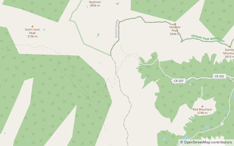
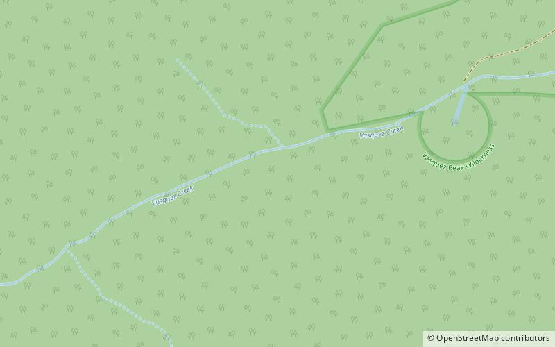
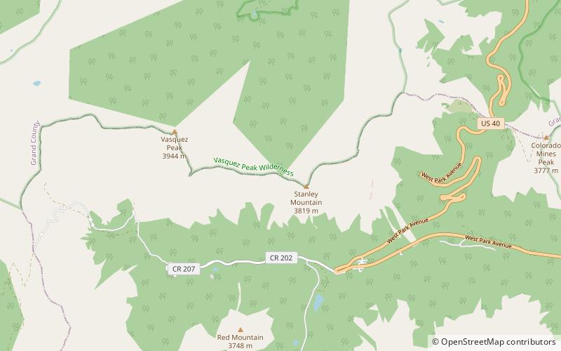
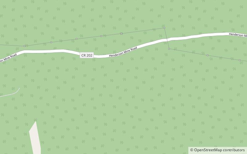
Map
Map
Gallery
Facts and practical information
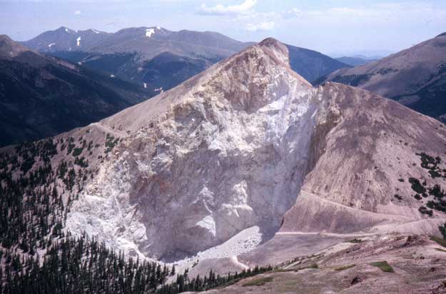
The Henderson molybdenum mine is a large underground molybdenum mine west of the town of Empire in Clear Creek County, Colorado, USA. The Henderson mine, which has produced molybdenum since 1976, is owned by Freeport-McMoRan. ()
Coordinates: 39°46'13"N, 105°49'59"W
Address
Arapaho National Forest
ContactAdd
Social media
Add
Day trips