Capital Crescent Trail, Silver Spring
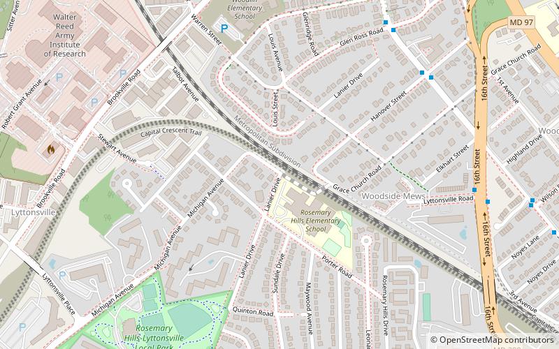
Map
Gallery
Facts and practical information
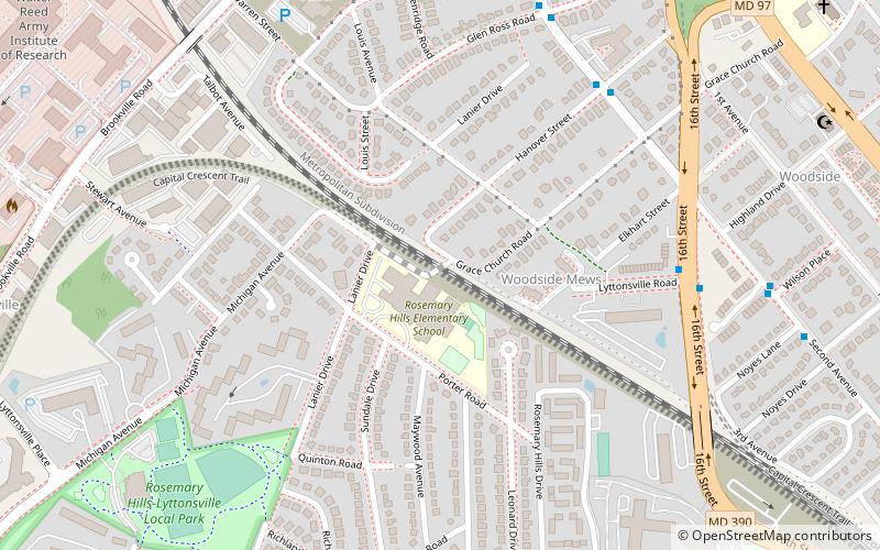
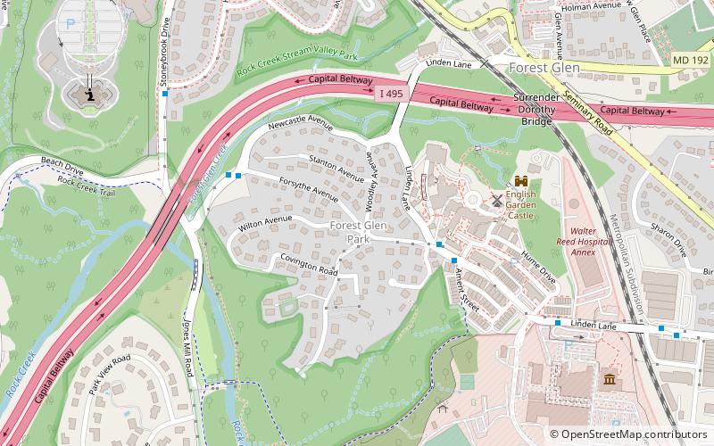
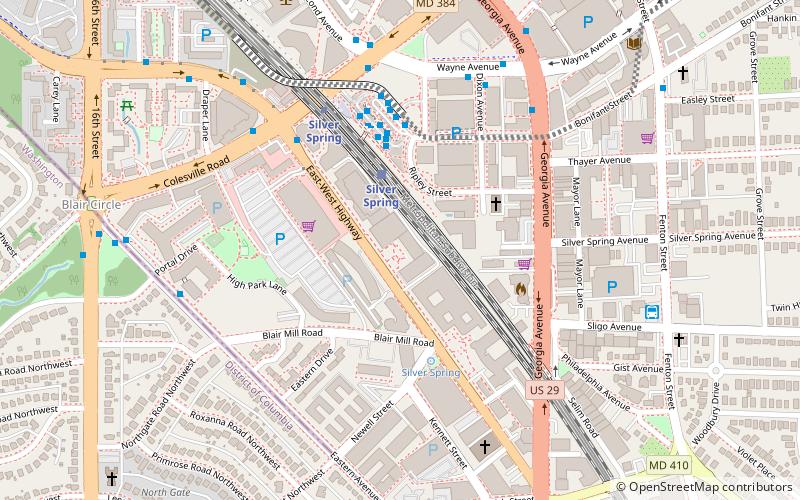
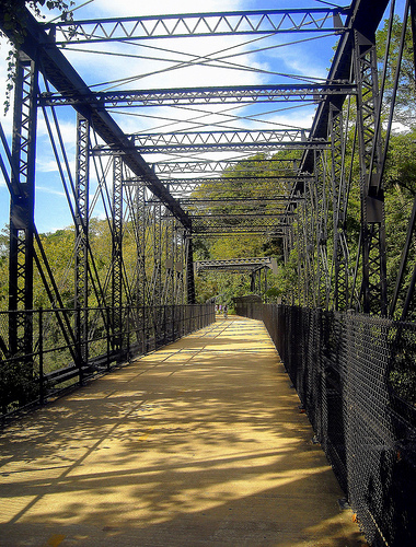
The Capital Crescent Trail is a 7.04-mile long, shared-use rail trail that runs from Georgetown in Washington, D.C., to Bethesda, Maryland. An extension of the trail from Bethesda to Silver Spring along a route formerly known as the Georgetown Branch Trail is being built as part of the Purple Line light rail project. ()
Length: 7.04 miCoordinates: 39°0'9"N, 77°2'47"W
Day trips
Capital Crescent Trail – popular in the area (distance from the attraction)
Nearby attractions include: National Museum of Health and Medicine, Ellsworth Place, Washington D.C. Temple, Silver Spring Library.
Frequently Asked Questions (FAQ)
Which popular attractions are close to Capital Crescent Trail?
Nearby attractions include Talbot Avenue bridge, Silver Spring (2 min walk), National Museum of Health and Medicine, Silver Spring (15 min walk), North Portal Estates, Washington D.C. (19 min walk), National Park Seminary, Silver Spring (22 min walk).
How to get to Capital Crescent Trail by public transport?
The nearest stations to Capital Crescent Trail:
Metro
Bus
Train
Metro
- Forest Glen • Lines: Rd (22 min walk)
- Silver Spring • Lines: Rd (26 min walk)
Bus
- D • Lines: 7 (24 min walk)
- E • Lines: 8 (25 min walk)
Train
- Silver Spring (28 min walk)
