Forest Glen Park, Silver Spring
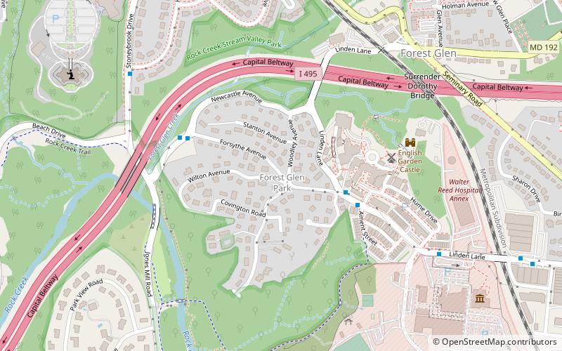
Map
Facts and practical information
Forest Glen Park is an unincorporated community in Montgomery County, Maryland and a residential neighborhood within the Silver Spring census-designated place. The community is adjacent to Rock Creek, Rock Creek Regional Park, and to the United States Army's Forest Glen Annex. ()
Coordinates: 39°0'42"N, 77°3'33"W
Address
Silver SpringSilver Spring
ContactAdd
Social media
Add
Getting there by public transportation
Public transportation stops near this location
- Metro
- Bus
- Train
 Metro
Metro
- Calculate routeLeafy Avenue 13 min walk
- Calculate routeVirginia Avenue 21 min walk
- Calculate routeD 22 min walk
- Calculate routeE 22 min walk
- Calculate routeForest Glen 23 min walk
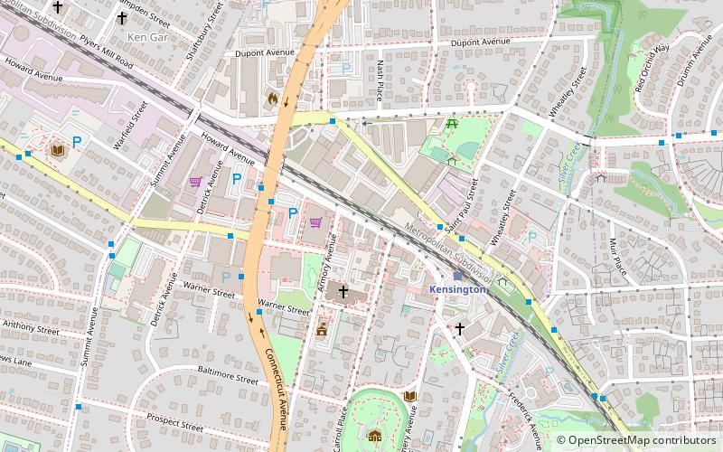
- Calculate routeKensington 32 min walk
Day trips


Frequently Asked Questions (FAQ)
Which popular attractions are close to Forest Glen Park?
Nearby attractions include National Park Seminary, Silver Spring (4 min walk), Washington D.C. Temple, Kensington (10 min walk), National Museum of Health and Medicine, Silver Spring (10 min walk), Woodend, Bethesda (20 min walk).
How to get to Forest Glen Park by public transport?
The nearest stations to Forest Glen Park:
Bus
Metro
Train
Bus
- Leafy Avenue • Lines: 5 (13 min walk)
- Virginia Avenue • Lines: 5 (21 min walk)
Metro
- Forest Glen • Lines: Rd (23 min walk)
Train
- Kensington (32 min walk)