Garfield, Pittsburgh

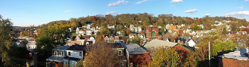
Gallery (2)
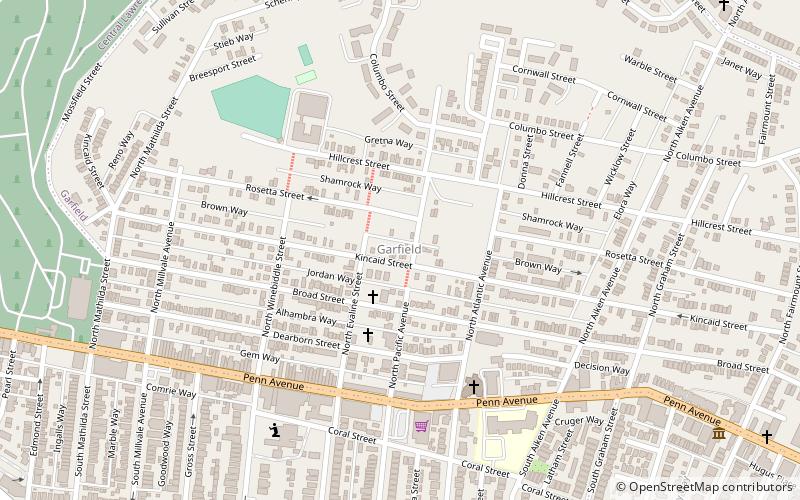
Map
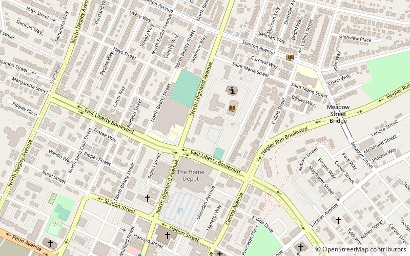
Map
Gallery
Facts and practical information
Garfield is a neighborhood in the East End of the City of Pittsburgh, Pennsylvania, United States. Garfield is bordered on the South by Bloomfield and Friendship, on the West by the Allegheny Cemetery, on the North by Stanton Heights, and on the East by East Liberty. Like many parts of Pittsburgh, Garfield is a fairly steep neighborhood, with north-south residential streets running at about a 20% incline from Penn Avenue at the bottom to Mossfield Street at the top. Garfield is divided into “the valley” and “the hilltop.” ()
Area: 0.46 mi²Coordinates: 40°28'2"N, 79°56'23"W
Address
East End (Garfield)Pittsburgh
ContactAdd
Social media
Add
Getting there by public transportation
Public transportation stops near this location
- Bus
 Bus
Bus
- Calculate routeNegley 21 min walk
- Calculate routeHighland Avenue at Broad Street 23 min walk
- Calculate routeMillvale Ave at Centre 26 min walk
- Calculate routeEast Liberty Station 27 min walk
Day trips


Frequently Asked Questions (FAQ)
Which popular attractions are close to Garfield?
Nearby attractions include Center for PostNatural History, Pittsburgh (8 min walk), Liberty School No. 4, Pittsburgh (11 min walk), Pittsburgh Glass Center, Pittsburgh (11 min walk), Friendship, Pittsburgh (12 min walk).
How to get to Garfield by public transport?
The nearest stations to Garfield:
Bus
Bus
- Negley (21 min walk)
- Highland Avenue at Broad Street • Lines: 71B (23 min walk)