Oakhurst–Gildersleeve Neighborhood Historic District, Charlottesville
Map
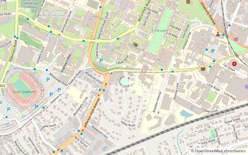
Map

Facts and practical information
Oakhurst–Gildersleeve Neighborhood Historic District is a national historic district located at Charlottesville, Virginia. The district encompasses 78 contributing buildings in a primarily residential section of the city of Charlottesville. It was developed between 1910 and the 1960s and includes examples of the Bungalow, Colonial Revival, and Tudor Revival styles. ()
Built: 1915 (111 years ago)Coordinates: 38°1'54"N, 78°30'24"W
Address
Jefferson Park AvenueCharlottesville
ContactAdd
Social media
Add
Day trips
Oakhurst–Gildersleeve Neighborhood Historic District – popular in the area (distance from the attraction)
Nearby attractions include: Statue of Thomas Jefferson, John Paul Jones Arena, Scott Stadium, Davenport Field at Disharoon Park.
Frequently Asked Questions (FAQ)
Which popular attractions are close to Oakhurst–Gildersleeve Neighborhood Historic District?
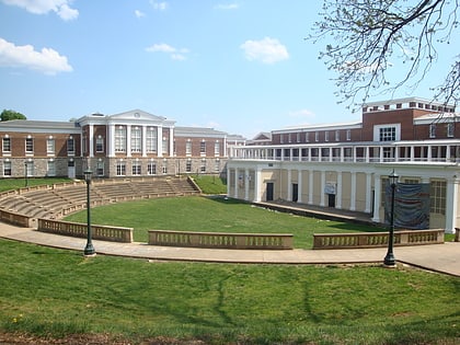
Nearby attractions include McIntire Amphitheatre, Charlottesville (4 min walk), University of Virginia College of Arts and Sciences, Charlottesville (6 min walk), Brown College at Monroe Hill, Charlottesville (6 min walk), Barringer Mansion, Charlottesville (6 min walk).
How to get to Oakhurst–Gildersleeve Neighborhood Historic District by public transport?
The nearest stations to Oakhurst–Gildersleeve Neighborhood Historic District:
Bus
Train
Bus
- Jefferson Park Ave @ Valley Rd • Lines: Or (3 min walk)
- Jefferson Park Ave @ Woodrow St • Lines: Or, T (3 min walk)
Train
- Charlottesville (21 min walk)

