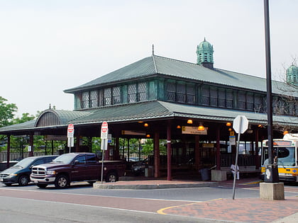
Islamic Society of Boston, Boston
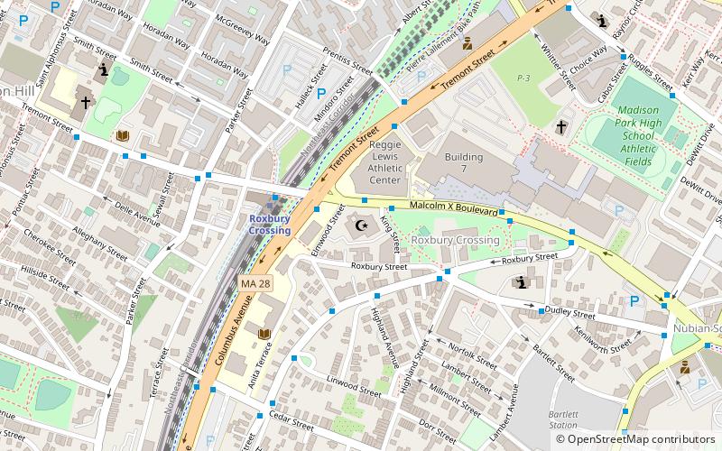
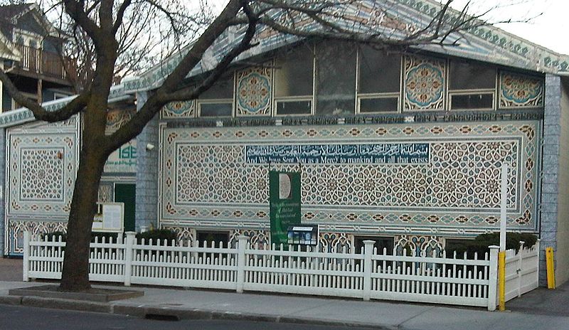
Facts and practical information
The Islamic Society of Boston is an organization that runs two mosques in the Boston area. The original mosque called Islamic Society of Boston is in Cambridge, Massachusetts. In 2007, the Islamic Society of Boston Cultural Center was built in Roxbury, Boston. Both mosques offers daily, weekly and annual programs for Muslims including Arabic and English classes on religious and secular topics. ISB also has a religious school for children and holiday programs. It organizes trips and summer camps for children and classes on Islam for new and non-Muslims. ()
Islamic Society of Boston – popular in the area (distance from the attraction)
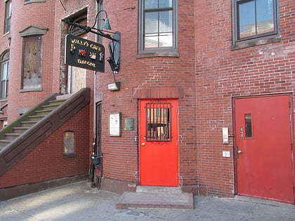
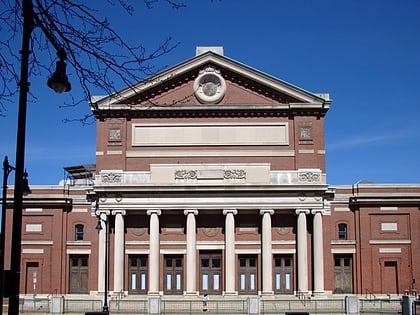
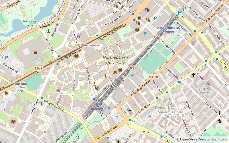
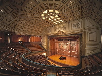
Nearby attractions include: Museum of Fine Arts, Wally's Cafe, Matthews Arena, Symphony Hall.
Frequently Asked Questions (FAQ)
Which popular attractions are close to Islamic Society of Boston?
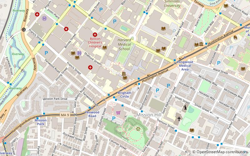
How to get to Islamic Society of Boston by public transport?
Bus
- Malcolm X Blvd @ Tremont St • Lines: 23 (1 min walk)
Metro
- Roxbury Crossing • Lines: Orange (4 min walk)
- Ruggles • Lines: Orange (11 min walk)
Train
- Ruggles (12 min walk)
- Lansdowne (31 min walk)
Light rail
- Longwood Medical Area • Lines: E (13 min walk)
- Museum of Fine Arts • Lines: E (13 min walk)

 MBTA Subway
