Bay Area Ridge Trail, San Francisco
Facts and practical information
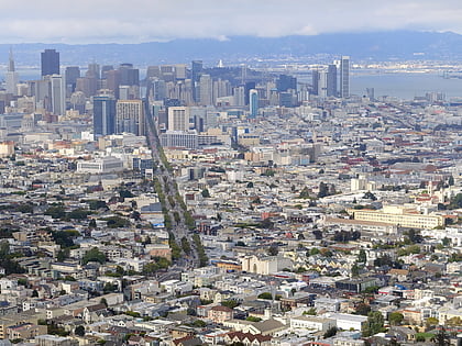
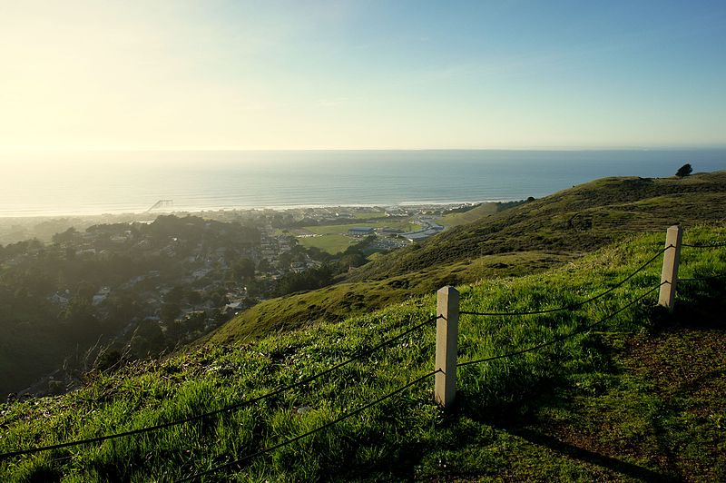
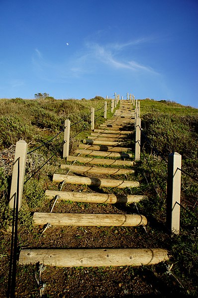
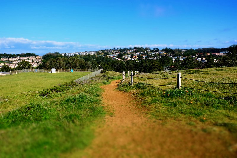
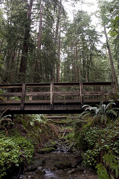
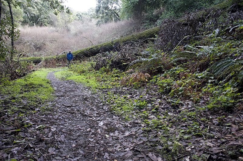
The Bay Area Ridge Trail is a planned 550-mile multi-use trail along the hill and mountain ridgelines ringing the San Francisco Bay Area, in Northern California. Currently 390 miles have been established. When complete, the trail will connect over 75 parks and open spaces. The trail is being designed to provide access for hikers, runners, mountain bicyclists, and equestrians. It will be accessible through trailheads near major population centers, while the trail will extend into more remote areas. The first trail section was dedicated on May 13, 1989. ()
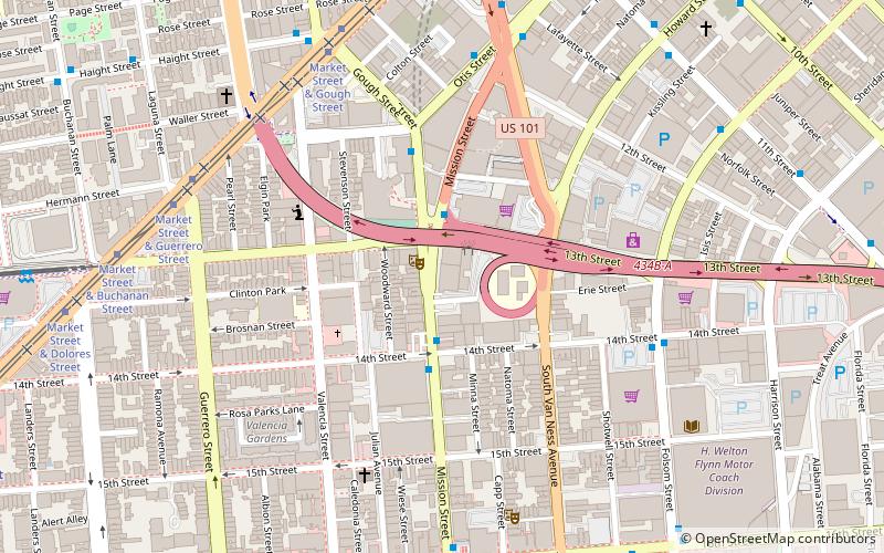
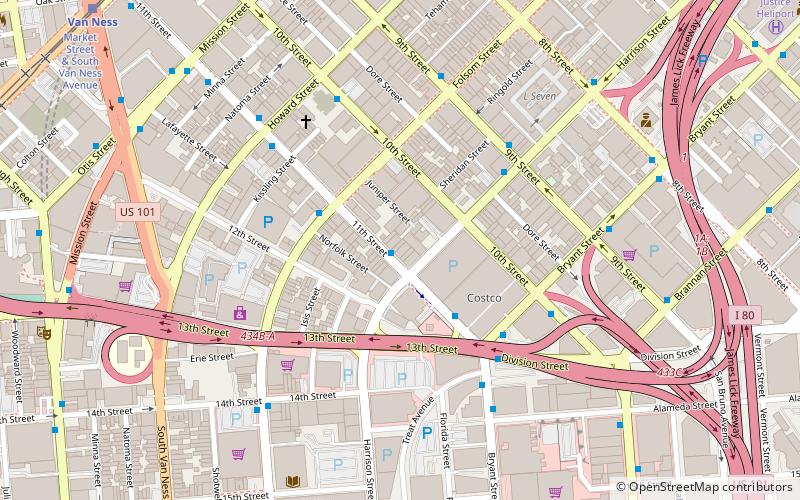
Southeast San Francisco (South of Market)San Francisco
Bay Area Ridge Trail – popular in the area (distance from the attraction)
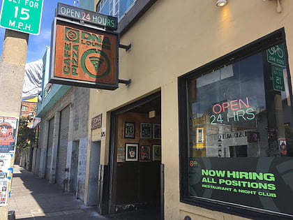
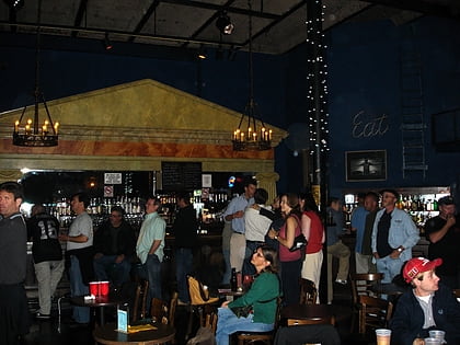
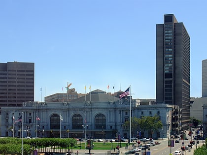
Nearby attractions include: DNA Lounge, Slim's, Bill Graham Civic Auditorium, San Francisco City Hall.
Frequently Asked Questions (FAQ)
Which popular attractions are close to Bay Area Ridge Trail?
How to get to Bay Area Ridge Trail by public transport?
Light rail
- Van Ness • Lines: K, N, S, T (1 min walk)
- Civic Center • Lines: K, N, S, T (11 min walk)
Bus
- Market Street & South Van Ness Avenue • Lines: 800 (1 min walk)
- 11th Street & Market Street • Lines: 397, 9, 9R (2 min walk)
Tram
- Market Street & Van Ness Avenue • Lines: F (1 min walk)
Trolleybus
- Mission Street & 11th Street • Lines: 14 (3 min walk)
- Otis Street & 12th Street • Lines: 14 (4 min walk)
Metro
- Civic Center • Lines: Blue, Green, Red, Yellow (11 min walk)
- 16th Street Mission • Lines: Blue, Green, Red, Yellow (18 min walk)



 Muni Metro