South Side Slopes, Pittsburgh
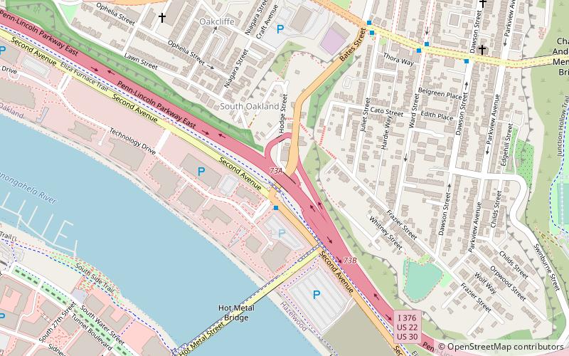
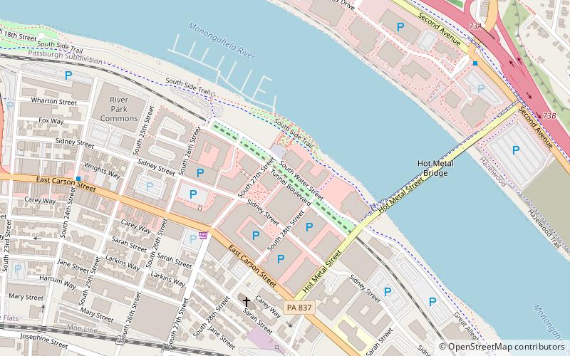
Map
Gallery
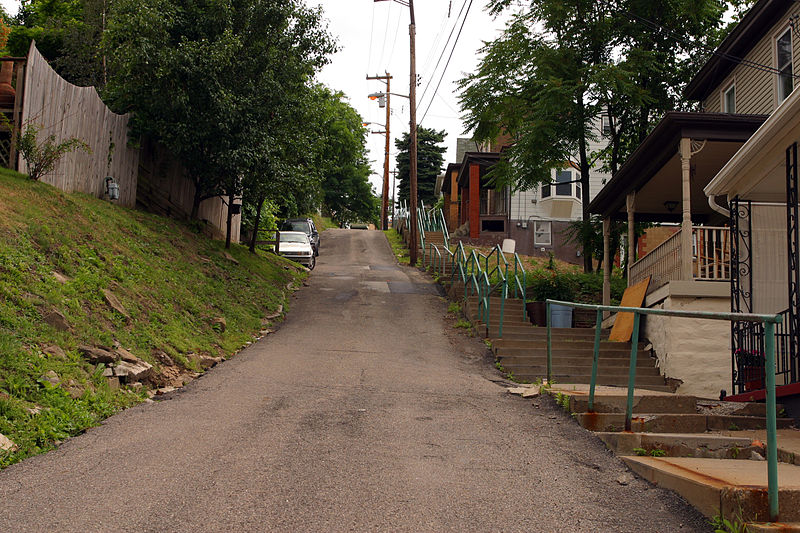
Facts and practical information
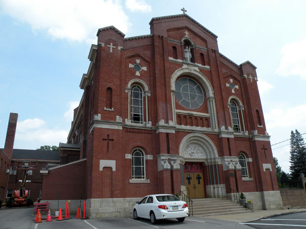
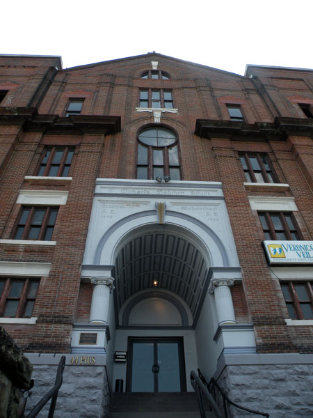
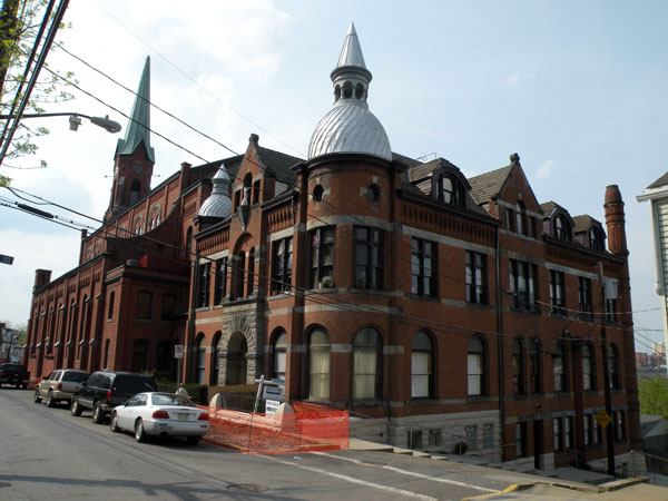
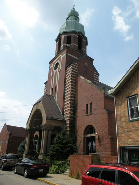
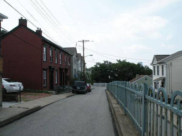
South Side Slopes is a neighborhood in Pittsburgh, Pennsylvania's South Side area. The neighborhood comprises the hills from the South Side Flats neighborhood along the Monongahela River from the Liberty Bridge to beyond Josephine Street. ()
Area: 0.72 mi²Coordinates: 40°25'18"N, 79°58'38"W
Address
South Side (Southside Slopes)Pittsburgh
ContactAdd
Social media
Add
Day trips
South Side Slopes – popular in the area (distance from the attraction)
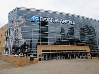
Nearby attractions include: PPG Paints Arena, SouthSide Works, Hot Metal Bridge, Shrine of the Blessed Mother.
Frequently Asked Questions (FAQ)
Which popular attractions are close to South Side Slopes?
Nearby attractions include Brew House Association, Pittsburgh (7 min walk), Duquesne Brewing Company, Pittsburgh (8 min walk), South Side Flats, Pittsburgh (11 min walk), Saint Michael's Roman Catholic Church & Rectory, Pittsburgh (12 min walk).
How to get to South Side Slopes by public transport?
The nearest stations to South Side Slopes:
Bus
Light rail
Bus
- Fifth Avenue at Craft Avenue • Lines: 71B (34 min walk)
- Grant St at 4th Ave • Lines: 3 (40 min walk)
Light rail
- First Avenue • Lines: Blue, Red, Silver (36 min walk)


