Former St. George Roman Catholic Church, Pittsburgh
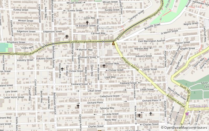
Map

Map

Facts and practical information
The former St. George Roman Catholic Church is located at 823 Climax Street in the Allentown neighborhood of Pittsburgh, Pennsylvania. The church was designed by Herman J. Lang in the German Romanesque and Rundbogenstil architectural styles, was built in 1910-1912, and today functions as a community space. ()
Coordinates: 40°25'13"N, 79°59'35"W
Address
South Side (Allentown)Pittsburgh
ContactAdd
Social media
Add
Day trips
Former St. George Roman Catholic Church – popular in the area (distance from the attraction)
Nearby attractions include: Liberty Bridge, Panhandle Bridge, City Theatre, South Tenth Street Bridge.
Frequently Asked Questions (FAQ)
Which popular attractions are close to Former St. George Roman Catholic Church?
Nearby attractions include Allentown, Pittsburgh (5 min walk), Knoxville, Pittsburgh (8 min walk), Brownsville Road, Pittsburgh (13 min walk), Emerald View Park, Pittsburgh (13 min walk).
How to get to Former St. George Roman Catholic Church by public transport?
The nearest stations to Former St. George Roman Catholic Church:
Bus
Light rail
Bus
- South Hills Junction • Lines: 40, 43 (19 min walk)
- Station Square (24 min walk)
Light rail
- South Hills Junction • Lines: Blue, Red, Silver (19 min walk)
- Station Square • Lines: Blue, Red, Silver (24 min walk)


