Roxborough, Philadelphia
Map

Map

Facts and practical information
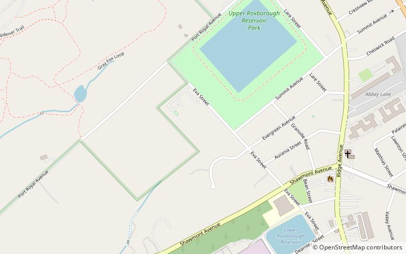
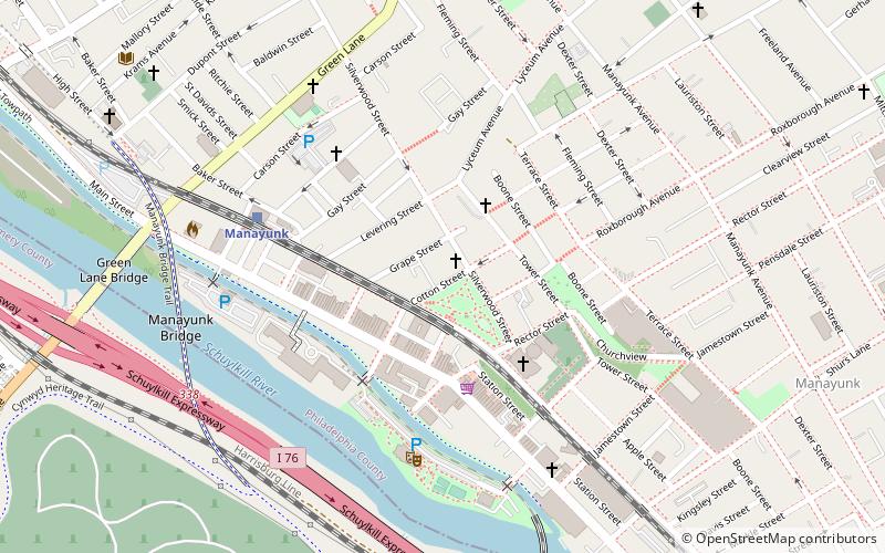
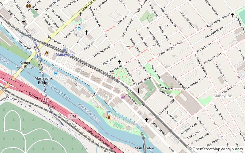
Roxborough is a neighborhood in the Northwest section of the city of Philadelphia, Pennsylvania. It is bordered to the southwest, along the Schuylkill River, by the neighborhood of Manayunk, along the northeast by the Wissahickon Creek section of Fairmount Park, and to the southeast by the neighborhood of East Falls. Beyond Roxborough to the northwest is Montgomery County. Roxborough's ZIP code is 19128. Most of Roxborough is in Philadelphia's 21st Ward. ()
Coordinates: 40°3'14"N, 75°14'31"W
Address
Lower Northwest (Upper Roxborough)Philadelphia
ContactAdd
Social media
Add
Day trips
Roxborough – popular in the area (distance from the attraction)
Nearby attractions include: Philadelphia Cricket Club, Green Lane Bridge, Woodmere Art Museum, Thomas Mill Covered Bridge.

 SEPTA Regional Rail


