Kenneth Hahn State Recreation Area, Los Angeles
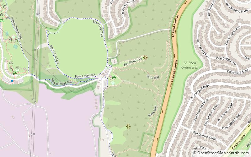
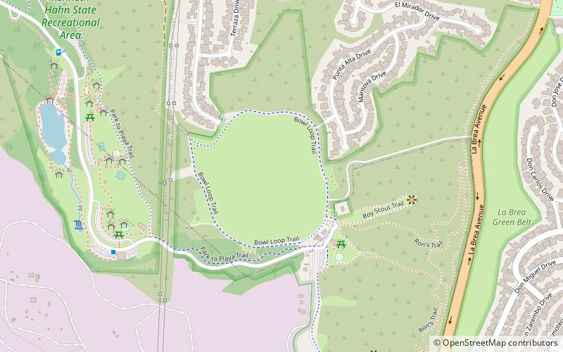
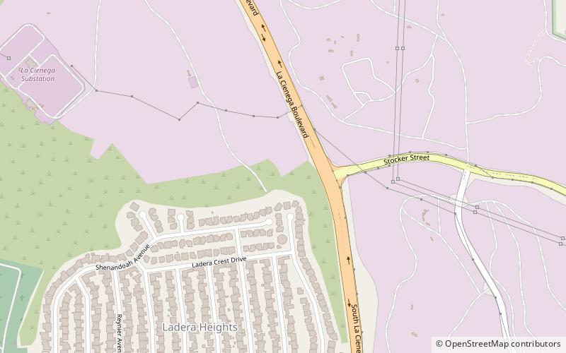
Map

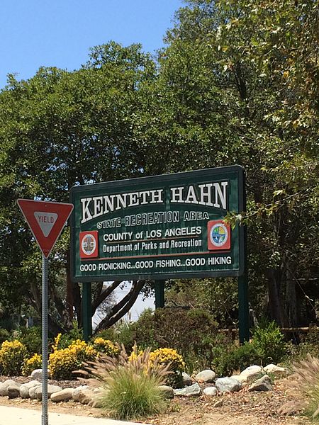
Gallery

Facts and practical information
Kenneth Hahn State Recreation Area, or Kenneth Hahn Park, is a state park unit of California in the Baldwin Hills Mountains of Los Angeles. The park is managed by the Los Angeles County Department of Parks and Recreation. As one of the largest urban parks and regional open spaces in the Greater Los Angeles Area, many have called it "L.A.'s Central Park". The 401-acre park was established in 1984. ()
Established: 1984 (42 years ago)Elevation: 443 ft a.s.l.Coordinates: 34°0'23"N, 118°21'40"W
Address
4100 S La Cienega BlvdSouth Los Angeles (Ladera Heights)Los Angeles
Contact
Social media
Add
Day trips
Kenneth Hahn State Recreation Area – popular in the area (distance from the attraction)
Nearby attractions include: Baldwin Hills Dam disaster, Wende Museum, Ladera Heights, View Park–Windsor Hills.
Frequently Asked Questions (FAQ)
Which popular attractions are close to Kenneth Hahn State Recreation Area?
Nearby attractions include Baldwin Hills Dam disaster, Los Angeles (5 min walk), Baldwin Hills, Los Angeles (13 min walk), La Cienega Boulevard, Los Angeles (21 min walk), View Park–Windsor Hills, Los Angeles (24 min walk).
How to get to Kenneth Hahn State Recreation Area by public transport?
The nearest stations to Kenneth Hahn State Recreation Area:
Bus
Bus
- Kenneth Hahn State Recreation Area • Lines: Baldwin Hills Parklands (12 min walk)
- Santo Tomas & Nicolet • Lines: Crenshaw (17 min walk)

 Metro & Regional Rail


