Baldwin Hills Dam disaster, Los Angeles
Facts and practical information
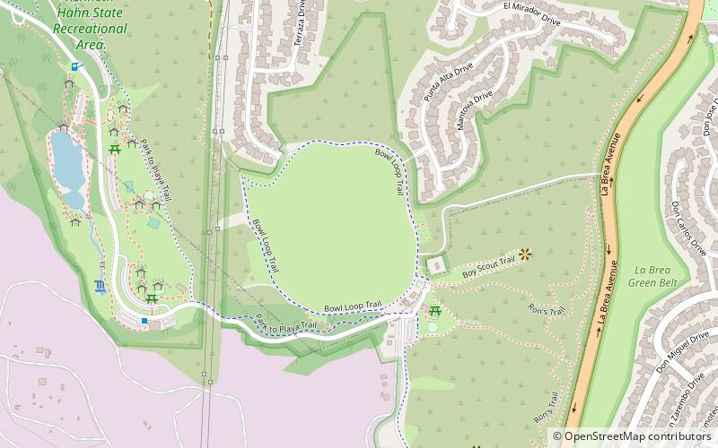
The Baldwin Hills Dam disaster occurred on December 14, 1963, in the Baldwin Hills neighborhood of South Los Angeles, when the dam containing the Baldwin Hills Reservoir suffered a catastrophic failure and flooded the residential neighborhoods surrounding it. It began with signs of lining failure, followed by increasingly serious leakage through the dam at its east abutment. After three hours, the dam breached, with a total release of 250 million US gallons, resulting in five deaths and the destruction of 277 homes. Vigorous rescue efforts averted a greater loss of life. ()
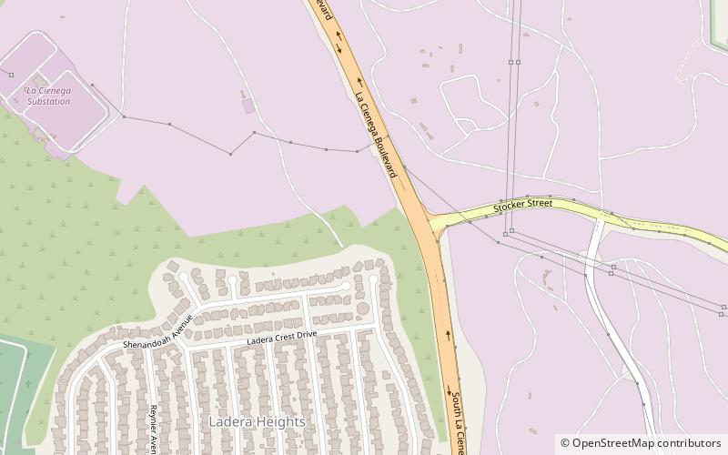
South Los Angeles (Ladera Heights)Los Angeles
- Bus
- Light rail
 Bus
Bus
- Calculate routeKenneth Hahn State Recreation Area 9 min walk
- Calculate routeSanto Tomas & Nicolet 19 min walk
- Calculate routePinafore & Stevely 19 min walk
- Calculate routeLenawee & Wrightcrest 22 min walk
- Calculate routeExpo/La Brea 32 min walk
- Calculate routeFarmdale 38 min walk
 Metro & Regional Rail
Baldwin Hills Dam disaster – popular in the area (distance from the attraction)
Nearby attractions include: Kenneth Hahn State Recreation Area, Wende Museum, View Park–Windsor Hills, La Cienega Boulevard.


Frequently Asked Questions (FAQ)
Which popular attractions are close to Baldwin Hills Dam disaster?
How to get to Baldwin Hills Dam disaster by public transport?
Bus
- Kenneth Hahn State Recreation Area • Lines: Baldwin Hills Parklands (9 min walk)
- Santo Tomas & Nicolet • Lines: Crenshaw (19 min walk)
Light rail
- Expo/La Brea • Lines: E (32 min walk)
- Farmdale • Lines: E (38 min walk)