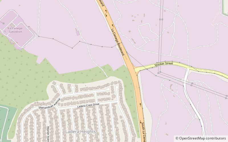
La Cienega Boulevard, Los Angeles
Map
Facts and practical information
La Cienega Boulevard is a major north–south arterial road that runs between El Segundo Boulevard in Hawthorne, California on the south and the Sunset Strip/Sunset Boulevard in West Hollywood to the north. It was named for Rancho Las Cienegas, literally "The Ranch Of The Swamps," an area of marshland south of Rancho La Brea. ()
Address
South Los Angeles (Ladera Heights)Los Angeles
ContactAdd
Social media
Add
Getting there by public transportation
Public transportation stops near this location
- Bus
 Bus
Bus
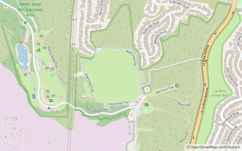
- Calculate routeKenneth Hahn State Recreation Area 15 min walk
- Calculate routeBuckingham & Slauson 22 min walk
- Calculate routeSlauson & Buckingham 23 min walk
Maps Metro & Regional Rail
Metro & Regional RailDay trips


Frequently Asked Questions (FAQ)
Which popular attractions are close to La Cienega Boulevard?
Nearby attractions include Ladera Heights, Los Angeles (17 min walk), Wende Museum, Los Angeles (21 min walk), Kenneth Hahn State Recreation Area, Los Angeles (21 min walk), Baldwin Hills Dam disaster, Los Angeles (21 min walk).
How to get to La Cienega Boulevard by public transport?
The nearest stations to La Cienega Boulevard:
Bus
Bus
- Kenneth Hahn State Recreation Area • Lines: Baldwin Hills Parklands (15 min walk)
- Buckingham & Slauson • Lines: 3 (22 min walk)