Ansley Mall, Atlanta
Map
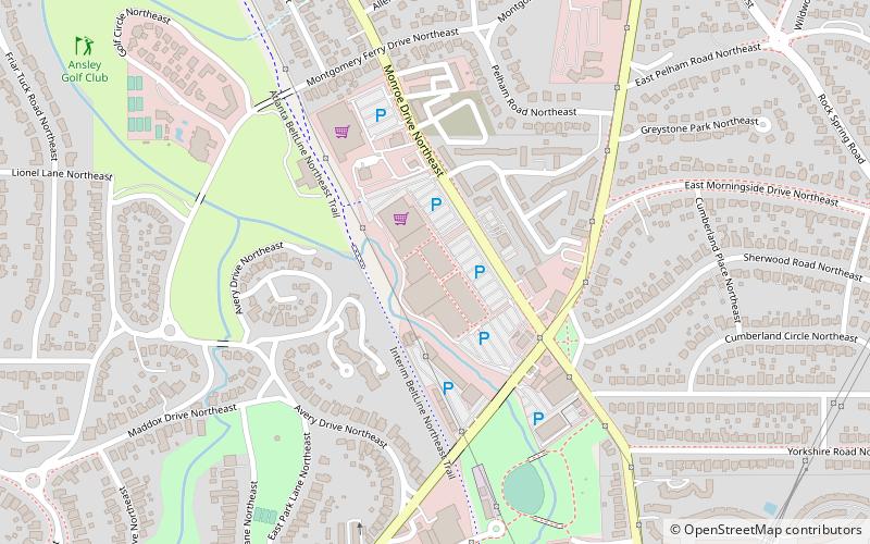
Map

Facts and practical information
Opened: 1964 (62 years ago)Coordinates: 33°47'54"N, 84°22'16"W
Address
Northeast Atlanta (Piedmont Heights)Atlanta
ContactAdd
Social media
Add
Day trips
Ansley Mall – popular in the area (distance from the attraction)
Nearby attractions include: Atlanta Botanical Garden, Piedmont Park, High Museum of Art, Amsterdam Walk.
Frequently Asked Questions (FAQ)
Which popular attractions are close to Ansley Mall?
Nearby attractions include Piedmont Heights, Atlanta (9 min walk), Rock Spring Presbyterian Church, Atlanta (13 min walk), Ansley Park, Atlanta (13 min walk), Atlanta Botanical Garden, Atlanta (15 min walk).
How to get to Ansley Mall by public transport?
The nearest stations to Ansley Mall:
Metro
Metro
- Arts Center • Lines: Gold, Red (29 min walk)
- Midtown • Lines: Gold, Red (38 min walk)


