Swinging Bridge, Yosemite National Park
Map
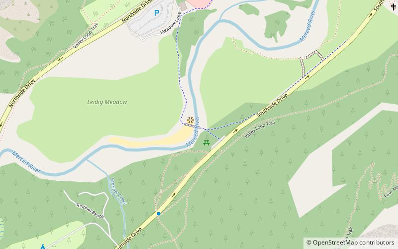
Map

Facts and practical information
Swinging Bridge is a popular destination in Yosemite Valley, California, United States, for swimming, with an excellent view of Yosemite Falls. The land in the area resembles that of a beach. Although official policy does not allow visitors to jump off the bridge, this is sometimes disregarded. The area on both sides of the bridge has mostly shallow water with a few areas of 6 feet to 12 feet in depth. ()
Coordinates: 37°44'13"N, 119°35'60"W
Address
Yosemite National Park
ContactAdd
Social media
Add
Day trips
Swinging Bridge – popular in the area (distance from the attraction)
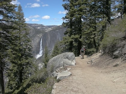
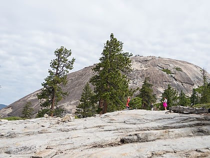
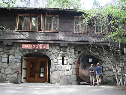
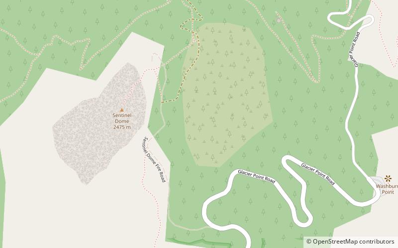
Nearby attractions include: Four Mile Trail, Sentinel Dome, Midnight Lightning, Yosemite Museum.
Frequently Asked Questions (FAQ)
Which popular attractions are close to Swinging Bridge?
Nearby attractions include Yosemite Valley Bridges, Yosemite National Park (8 min walk), Yosemite Valley Chapel, Yosemite National Park (15 min walk), Sentinel Rock, Yosemite National Park (17 min walk), Four Mile Trail, Yosemite National Park (20 min walk).
How to get to Swinging Bridge by public transport?
The nearest stations to Swinging Bridge:
Bus
Bus
- El Cap Shuttle Stop #E6 • Lines: El Capitan Shuttle (6 min walk)
- Valley Shuttle Stop #7 • Lines: Yosemite Valley Shuttle (9 min walk)

