Leona Canyon Regional Open Space Preserve, Oakland
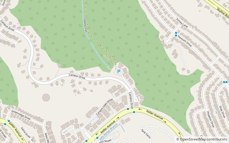
Map
Facts and practical information
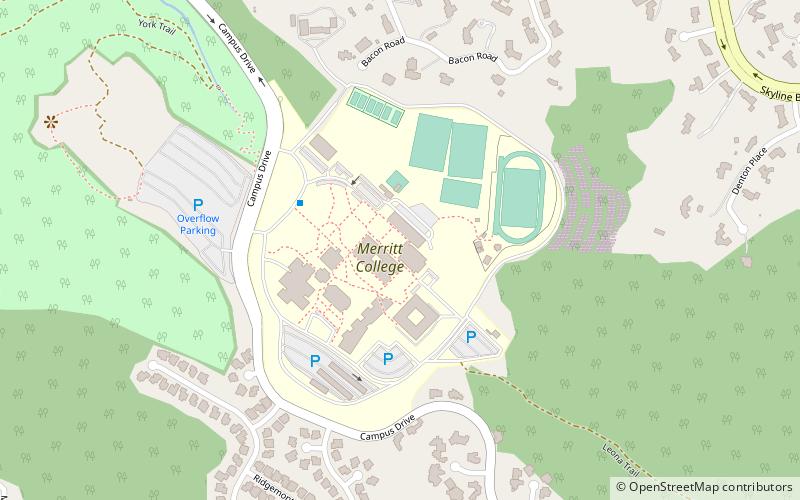
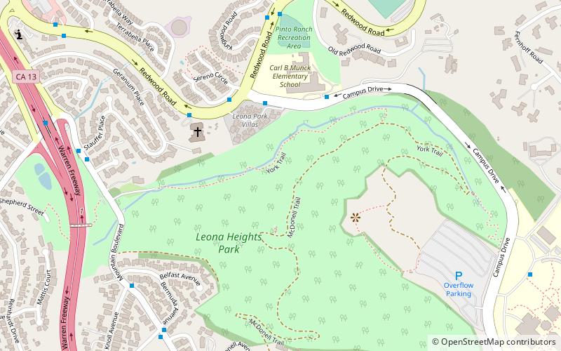
Leona Canyon Regional Open Space Preserve is a regional park located in Oakland, CA that is part of the East Bay Regional Parks system. It is located off Keller Avenue near Oak Knoll Naval Hospital and it extends to Merritt College. ()
Elevation: 410 ft a.s.l.Coordinates: 37°46'31"N, 122°8'46"W
Getting there by public transportation
Public transportation stops near this location
- Bus
 Bus
Bus
- Calculate routeMountain Boulevard & Shone Avenue 15 min walk
- Calculate routeFontaine Street & Fontaine Overpass 20 min walk
Day trips


Frequently Asked Questions (FAQ)
Which popular attractions are close to Leona Canyon Regional Open Space Preserve?
Nearby attractions include Ridgemont, Oakland (21 min walk), Sequoyah Heights, Oakland (21 min walk).
How to get to Leona Canyon Regional Open Space Preserve by public transport?
The nearest stations to Leona Canyon Regional Open Space Preserve:
Bus
Bus
- Mountain Boulevard & Shone Avenue • Lines: 46 (15 min walk)
- Fontaine Street & Fontaine Overpass • Lines: 46 (20 min walk)