Hunts Point, New York City

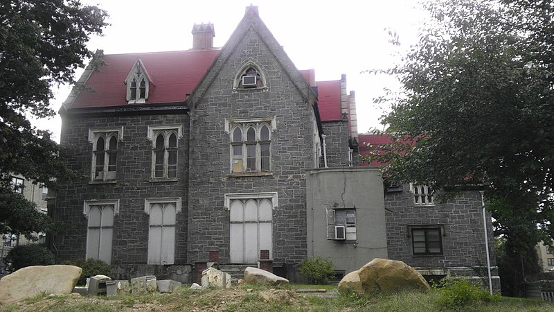
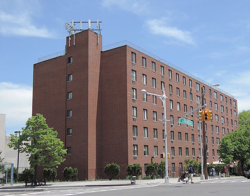
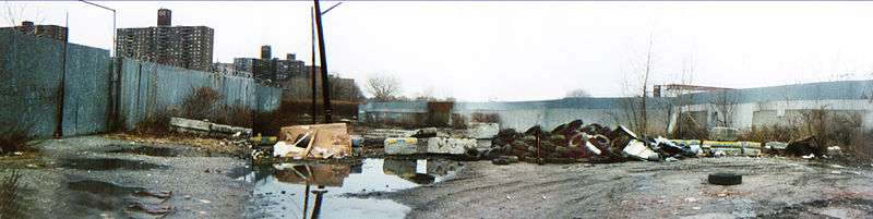
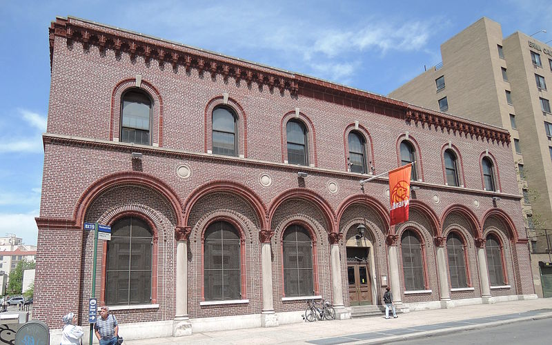
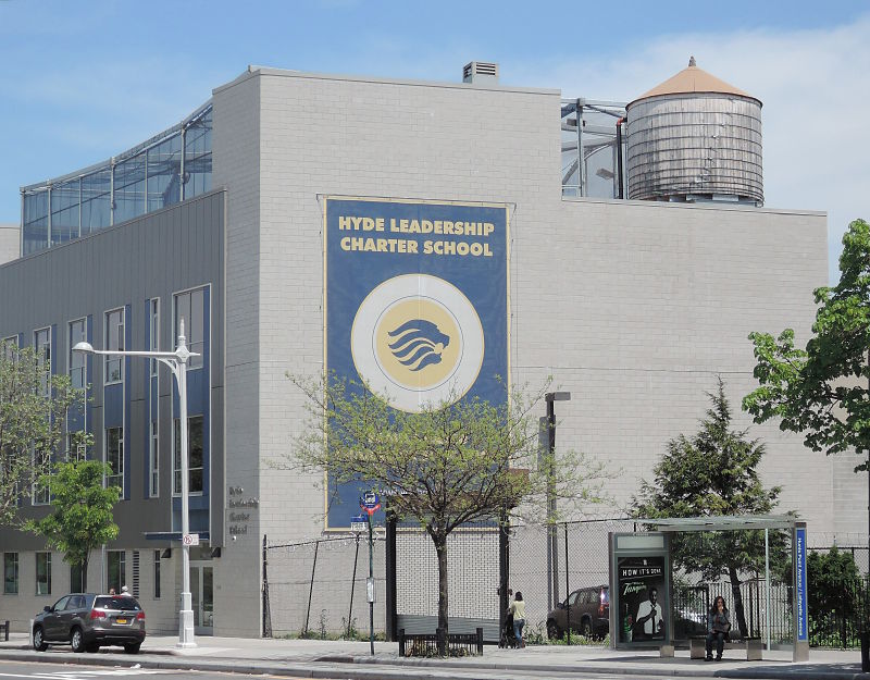
Gallery (7)
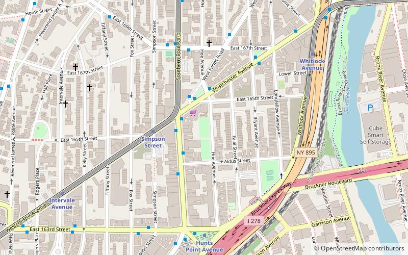
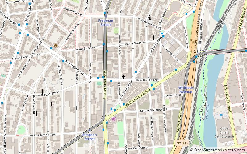
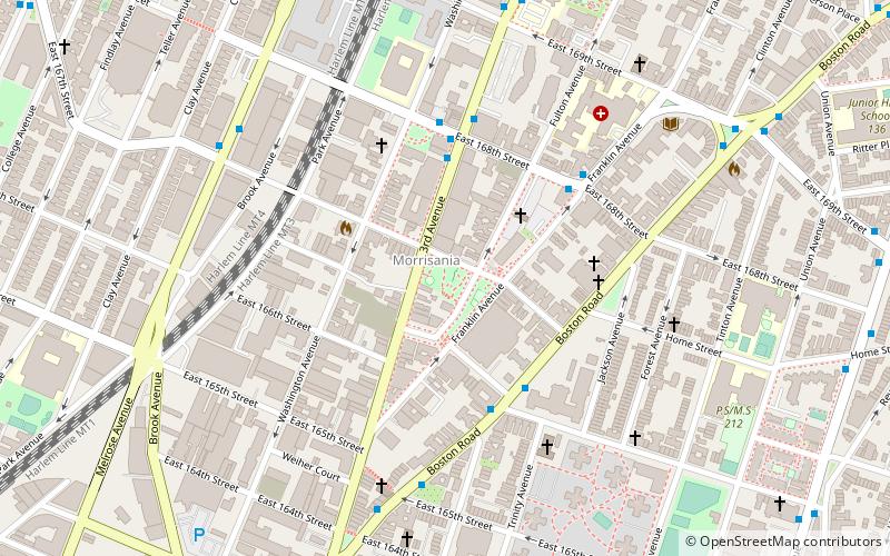
Map

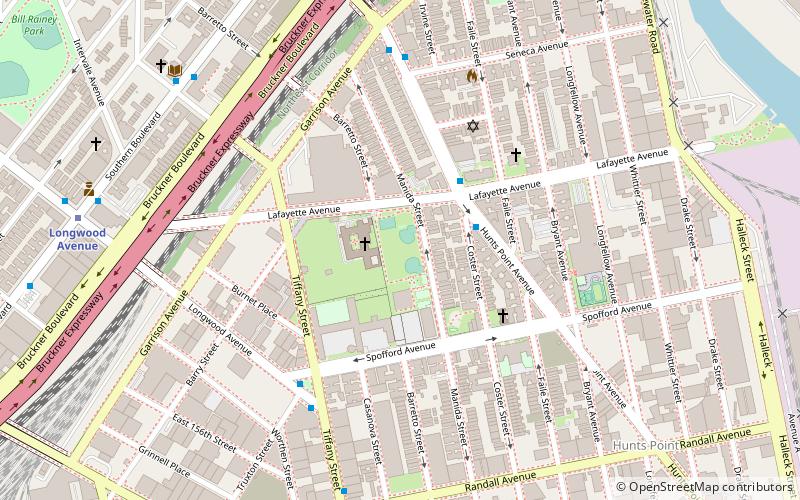
Map

Gallery
Facts and practical information
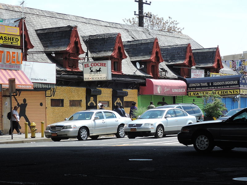
Hunts Point is a neighborhood located on a peninsula in the South Bronx of New York City. It is the location of one of the largest food distribution facilities in the world, the Hunts Point Cooperative Market. Its boundaries are the Bruckner Expressway to the west and north, the Bronx River to the east, and the East River to the south. Hunts Point Avenue is the primary street through Hunts Point. ()
Getting there by public transportation
Public transportation stops near this location
- Metro
 Metro
Metro
- Calculate routeHunts Point Avenue 18 min walk
- Calculate routeLongwood Avenue 18 min walk
- Calculate routeSimpson Street 24 min walk
- Calculate routeIntervale Avenue 24 min walk
Maps SubwayMaps
 Manhattan Buses
SubwayMapsManhattan BusesDay trips


Frequently Asked Questions (FAQ)
Which popular attractions are close to Hunts Point?
Nearby attractions include Hunts Point Cooperative Market, New York City (9 min walk), Julio Carballo Field, New York City (9 min walk), Sunnyslope, New York City (10 min walk), Hunts Point Riverside Park, New York City (10 min walk).
How to get to Hunts Point by public transport?
The nearest stations to Hunts Point:
Metro
Metro
- Hunts Point Avenue • Lines: <6>, 6 (18 min walk)
- Longwood Avenue • Lines: 6 (18 min walk)