Printers Park, New York City
Map
Facts and practical information
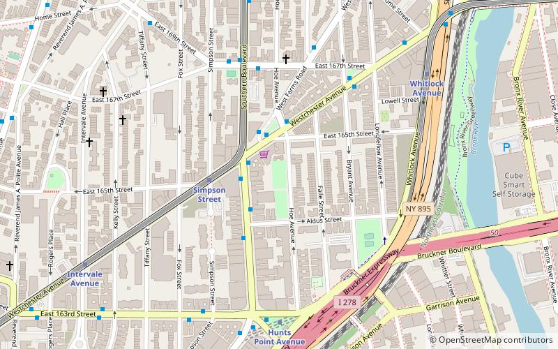
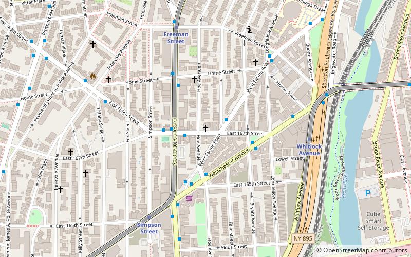
Printer's Park is a small park on Hoe Avenue between Aldus Street and Westchester Avenue, in the Longwood neighborhood of the Bronx, New York City. The park is run by the New York City Department of Parks and Recreation. ()
Elevation: 56 ft a.s.l.Coordinates: 40°49'27"N, 73°53'27"W
Address
West Bronx (Foxhurst)New York City
ContactAdd
Social media
Add
Getting there by public transportation
Public transportation stops near this location
- Metro
- Bus
 Metro
Metro
- Calculate routeSimpson Street 4 min walk
- Calculate routeHunts Point Avenue 7 min walk
- Calculate routeWhitlock Avenue 8 min walk
- Calculate routeIntervale Avenue 9 min walk
- Calculate routeEast 163rd Street & 3rd Avenue 25 min walk
- Calculate routeEast 149th Street & Trinity Aveue 33 min walk
Maps SubwayMaps
 Manhattan Buses
SubwayMapsManhattan BusesDay trips


Frequently Asked Questions (FAQ)
Which popular attractions are close to Printers Park?
Nearby attractions include St. John Chrysostom's Church, New York City (5 min walk), Concrete Plant Park, New York City (11 min walk), Sunnyslope, New York City (14 min walk), Julio Carballo Field, New York City (16 min walk).
How to get to Printers Park by public transport?
The nearest stations to Printers Park:
Metro
Bus
Metro
- Simpson Street • Lines: 2, 5 (4 min walk)
- Hunts Point Avenue • Lines: <6>, 6 (7 min walk)
Bus
- East 163rd Street & 3rd Avenue • Lines: Bx13, Bx6 (25 min walk)
- East 149th Street & Trinity Aveue • Lines: Bx19 (33 min walk)