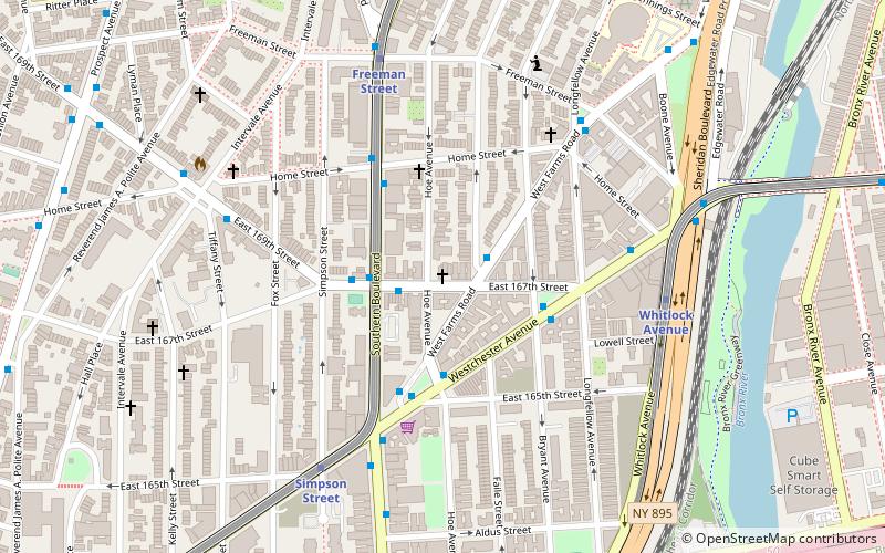
Estella Diggs Park, New York City
Facts and practical information
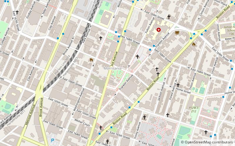
Estella Diggs Park is a 0.9-acre public park in the Morrisania neighborhood of the Bronx, New York City. It was built on one of many vacant lots in Morrisania that resulted after some of the neighborhood's buildings were abandoned and demolished in the 1960s. The New York City Parks Department acquired this property in 1978 and it was briefly used as a community garden but later again became vacant. At the time, community organizer Megan Charlop led a protest effort against the movie Fort Apache, The Bronx arguing that it negatively depicted the neighborhood. As a compromise, the producers issued a $15,000 check to the fledgling Rock Greening Association, a community land trust Charlop had helped establish to acquire the empty lot where filming took place. The lot was then given to the city. In 1990, additional lots were acquired by Parks and the site was named Rocks and Roots Park. ()
West Bronx (Morrisania)New York City
- Metro
- Bus
- Train
 Metro
Metro
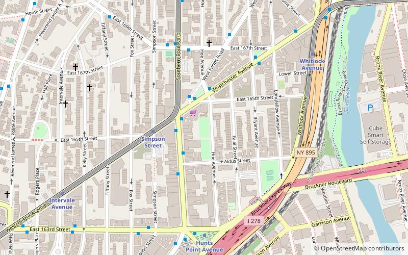
- Calculate routeEast 163rd Street & 3rd Avenue 10 min walk
- Calculate routeMelrose Avenue & East 152nd Street 25 min walk
- Calculate routeBergen Avenue & East 149 Street 27 min walk
- Calculate routeEast 161st Street & River Avenue 27 min walk
- Calculate routeMelrose 14 min walk
- Calculate routeProspect Avenue 18 min walk
- Calculate routeIntervale Avenue 18 min walk
 SubwayMaps
 Manhattan Buses


Frequently Asked Questions (FAQ)
Which popular attractions are close to Estella Diggs Park?
How to get to Estella Diggs Park by public transport?
Bus
- East 163rd Street & 3rd Avenue • Lines: Bx13, Bx6 (10 min walk)
- Melrose Avenue & East 152nd Street • Lines: Bx41 (25 min walk)
Train
- Melrose (14 min walk)
Metro
- Prospect Avenue • Lines: 2, 5 (18 min walk)
- Intervale Avenue • Lines: 2, 5 (18 min walk)