Merced Manor, San Francisco
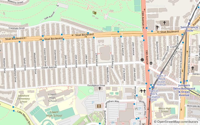
Map
Facts and practical information
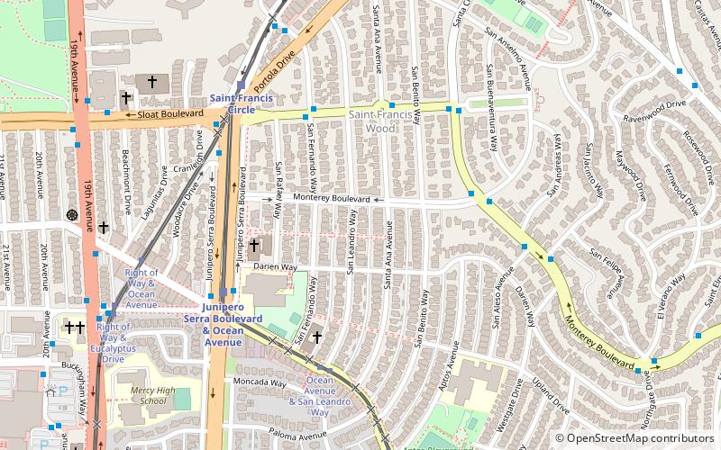
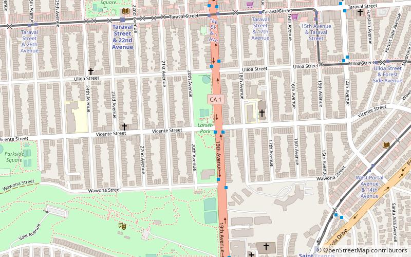
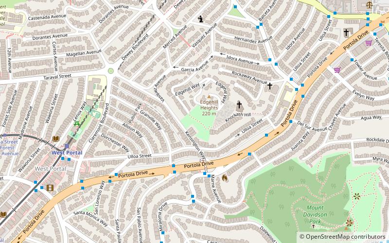
Merced Manor is a neighborhood in southwestern San Francisco, between Stern Grove and Lake Merced. It is bordered by 19th Avenue to the east, Sloat Boulevard to the north, 26th Avenue to the west and Eucalyptus Drive to the south. ()
Coordinates: 37°43'58"N, 122°28'44"W
Address
Southwest San Francisco (Merced Manor)San Francisco
ContactAdd
Social media
Add
Day trips
Merced Manor – popular in the area (distance from the attraction)
Nearby attractions include: Stonestown Galleria, TPC Harding Park, Sigmund Stern Recreation Grove, Gregangelo Museum.
Frequently Asked Questions (FAQ)
Which popular attractions are close to Merced Manor?
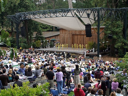
Nearby attractions include Sigmund Stern Recreation Grove, San Francisco (7 min walk), Larsen Park, San Francisco (13 min walk), Balboa Terrace, San Francisco (15 min walk), Gregangelo Museum, San Francisco (15 min walk).
How to get to Merced Manor by public transport?
The nearest stations to Merced Manor:
Bus
Light rail
Train
Bus
- 19th Avenue & Ocean Avenue • Lines: 28, 91 (6 min walk)
- Winston Drive & Buckingham Way • Lines: 122, 29 (8 min walk)
Light rail
- Right of Way & Eucalyptus Drive (8 min walk)
- Right of Way & Ocean Avenue (8 min walk)
Train
- Taraval Street & 22nd Avenue (18 min walk)
- Taraval Street & Sunset Boulevard (28 min walk)
 Muni Metro