Edgehill Mountain, San Francisco
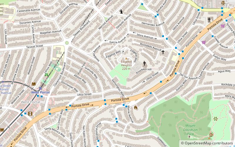
Map
Facts and practical information
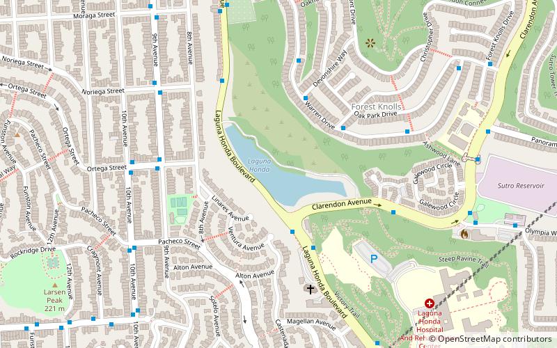
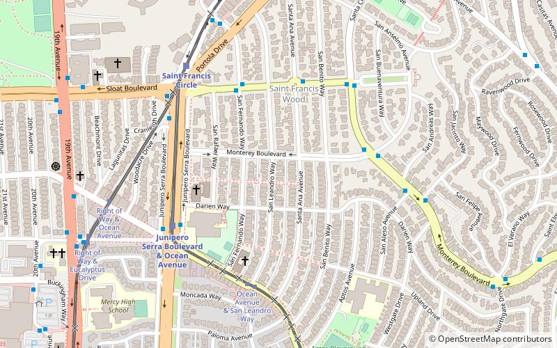
Edgehill Mountain is one of the 46 hills of the City and County of San Francisco, California, located in the United States of America. This hill is part of a western greenbelt that connects Mount Davidson, Hawk Hill, Twin Peaks, and the area around Laguna Honda Reservoir, which all run on the crest of a ridge of hill tops through the center of the city. The neighborhood surrounding the hill boasts a small park by the same name. ()
Elevation: 734 ftCoordinates: 37°44'31"N, 122°27'36"W
Address
Southwest San Francisco (Laguna Honda)San Francisco
ContactAdd
Social media
Add
Getting there by public transportation
Public transportation stops near this location
- Bus
- Trolleybus
- Light rail
- Train
 Bus
Bus
- Calculate routePortola Drive & San Pablo Avenue 4 min walk
- Calculate routeMiraloma Drive & Marne Avenue 4 min walk
- Calculate routePortola Drive & Rex Avenue 4 min walk
- Calculate routeWest Portal 8 min walk
- Calculate routeForest Hill 11 min walk
- Calculate routeUlloa Street & Forest Side Avenue 13 min walk
- Calculate routeWest Portal Avenue & 14th Avenue 15 min walk
- Calculate routeTaraval Street & 22nd Avenue 28 min walk
- Calculate routeClayton Street & Corbett Avenue 36 min walk
- Calculate routeMarket Street & Clayton Street 37 min walk
Maps Muni Metro
Muni MetroDay trips


Frequently Asked Questions (FAQ)
Which popular attractions are close to Edgehill Mountain?
Nearby attractions include West Portal, San Francisco (9 min walk), HerChurch, San Francisco (12 min walk), Mount Davidson, San Francisco (12 min walk), Westwood Highlands, San Francisco (17 min walk).
How to get to Edgehill Mountain by public transport?
The nearest stations to Edgehill Mountain:
Bus
Light rail
Train
Trolleybus
Bus
- Portola Drive & San Pablo Avenue • Lines: 48 (4 min walk)
- Miraloma Drive & Marne Avenue • Lines: 43 (4 min walk)
Light rail
- West Portal • Lines: K, S, T (8 min walk)
- Forest Hill • Lines: K, S, T (11 min walk)
Train
- Taraval Street & 22nd Avenue (28 min walk)
Trolleybus
- Clayton Street & Corbett Avenue • Lines: 33 (36 min walk)
- Market Street & Clayton Street • Lines: 33 (37 min walk)