Maiden Lane, San Francisco

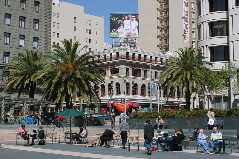
Gallery (1)
Map
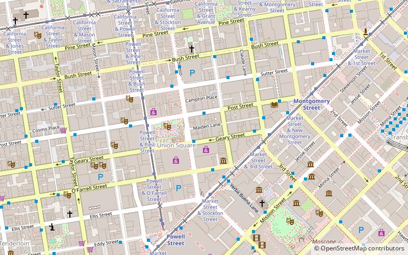
Map
Facts and practical information
Maiden Lane is a pedestrian mall located in San Francisco, California, United States. A former section of the city's red light district, Maiden Lane is now home to high-end boutiques and art galleries. The street also serves as the location of San Francisco's only Frank Lloyd Wright designed building. ()
Coordinates: 37°47'17"N, 122°24'22"W
Address
80 Maiden LnNortheast San Francisco (Downtown San Francisco-Union Square)San Francisco
Contact
Social media
Add
Getting there by public transportation
Public transportation stops near this location
- Metro
- Bus
- Trolleybus
- Tram
- Light rail
- Train
- Ferry
 Metro
Metro
- Calculate routeGeary Street & Stockton Street 1 min walk
- Calculate routeO'Farrell Street & Grant Avenue 3 min walk
- Calculate routeSutter Street & Kearny Street 4 min walk
- Calculate routeStockton Street & Geary Street 1 min walk
- Calculate routeSutter Street & Kearny Street 4 min walk
- Calculate routeKearny Street & Geary Street 4 min walk
- Calculate routeMarket Street & 3rd Street 4 min walk
- Calculate routePowell Street & Geary Street 4 min walk
- Calculate routePowell Street & Post Street 4 min walk
- Calculate routeMontgomery Street 7 min walk
- Calculate routePowell Street 7 min walk
- Calculate routeEmbarcadero 16 min walk
- Calculate routeCivic Center 19 min walk
- Calculate routePowell Street 7 min walk
- Calculate routeMontgomery Street 7 min walk
- Calculate routeEmbarcadero 16 min walk
- Calculate routeFerry Building Gate B 24 min walk
- Calculate routeSan Francisco 4th & King Street 26 min walk
Maps Muni Metro
Muni MetroDay trips
Maiden Lane – popular in the area (distance from the attraction)
Nearby attractions include: Dewey Monument, Union Square, Admission Day Monument, Contemporary Jewish Museum.


Frequently Asked Questions (FAQ)
Which popular attractions are close to Maiden Lane?
Nearby attractions include Xanadu Gallery, San Francisco (1 min walk), Xanadu Gallery, San Francisco (1 min walk), Union Square, San Francisco (2 min walk), John Berggruen Gallery, San Francisco (3 min walk).
How to get to Maiden Lane by public transport?
The nearest stations to Maiden Lane:
Bus
Trolleybus
Tram
Light rail
Metro
Ferry
Train
Bus
- Geary Street & Stockton Street • Lines: 38, 38R (1 min walk)
- O'Farrell Street & Grant Avenue • Lines: 38, 38R (3 min walk)
Trolleybus
- Stockton Street & Geary Street • Lines: 30, 45 (1 min walk)
- Sutter Street & Kearny Street • Lines: 30, 45 (4 min walk)
Tram
- Market Street & 3rd Street • Lines: F (4 min walk)
- Powell Street & Geary Street (4 min walk)
Light rail
- Montgomery Street • Lines: K, N, S, T (7 min walk)
- Powell Street • Lines: K, N, S, T (7 min walk)
Metro
- Powell Street • Lines: Blue, Green, Red, Yellow (7 min walk)
- Montgomery Street • Lines: Blue, Green, Red, Yellow (7 min walk)
Ferry
- Ferry Building Gate B • Lines: San Francisco Bay Ferry (24 min walk)
Train
- San Francisco 4th & King Street (26 min walk)