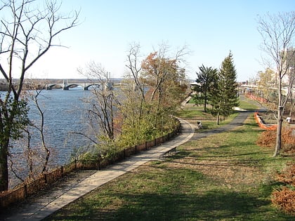
Memorial Bridge, Springfield
Map
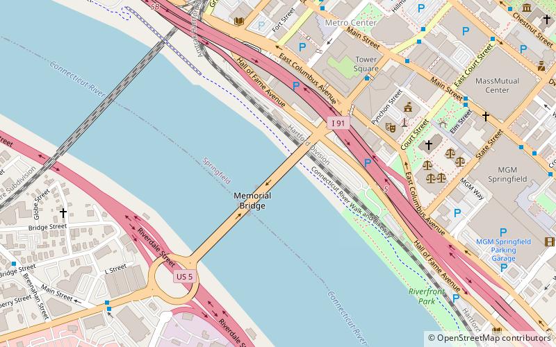
Map

Facts and practical information
The Hampden County Memorial Bridge is a reinforced-concrete arch bridge that spans the Connecticut River between Springfield, Massachusetts and West Springfield, Massachusetts, constructed in 1922. The bridge is owned by Massachusetts Highway Department and is located on Massachusetts Route 147. It spans 209 feet and rises 29.71 feet above the river. ()
Opened: 1922 (104 years ago)Length: 1515 ftWidth: 83 ftCoordinates: 42°5'60"N, 72°35'38"W
Day trips
Memorial Bridge – popular in the area (distance from the attraction)
Nearby attractions include: MassMutual Center, Naismith Memorial Basketball Hall of Fame, Symphony Hall, First Church of Christ.
Frequently Asked Questions (FAQ)
Which popular attractions are close to Memorial Bridge?
Nearby attractions include Connecticut River Walk Park, Springfield (6 min walk), Springfield Municipal Group, Springfield (6 min walk), Court Square, Springfield (7 min walk), Hampden County Courthouse, Springfield (7 min walk).
How to get to Memorial Bridge by public transport?
The nearest stations to Memorial Bridge:
Bus
Train
Bus
- Berth 3 • Lines: P20 (11 min walk)
- Berth 4 • Lines: B6 (11 min walk)
Train
- Springfield (12 min walk)
