Court Square, Springfield
Map
Gallery
Facts and practical information
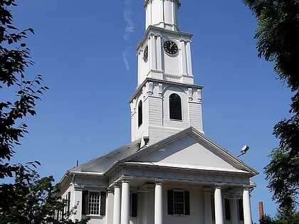
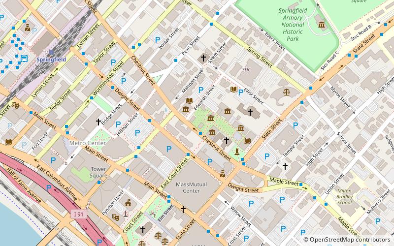
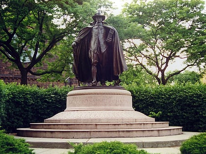
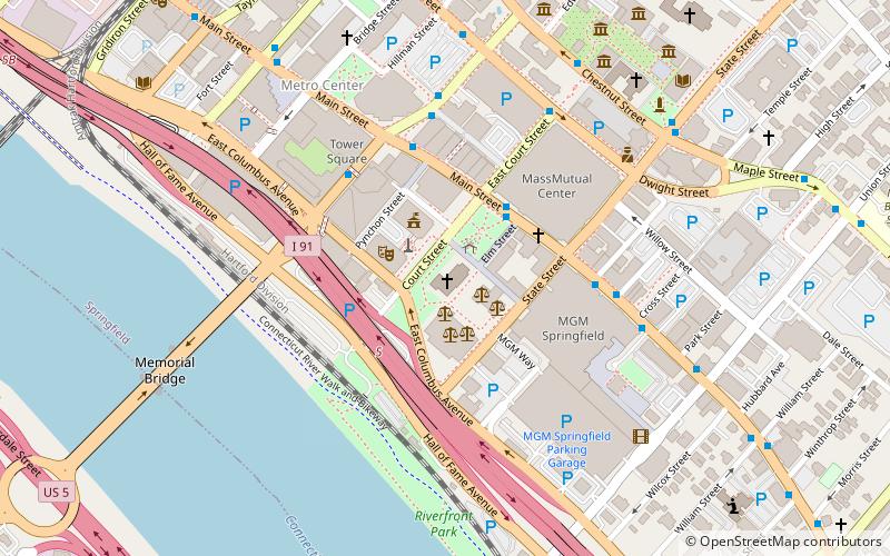
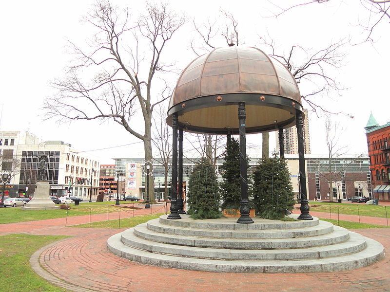
Court Square in Springfield, Massachusetts, United States, is a park and historic district in the heart of Springfield's urban Metro Center neighborhood. Court Square is the City of Springfield's only topographical constant since its founding in 1636. It is bounded by Court Street, Main Street, State Street, East Columbus Avenue, and features Elm Street and a scenic pedestrian-only walkway from the courthouse toward Springfield's historic Old First Church. ()
Built: 1812 (214 years ago)Elevation: 79 ft a.s.l.Coordinates: 42°6'2"N, 72°35'22"W
Address
Metro CenterSpringfield
ContactAdd
Social media
Add
Day trips
Court Square – popular in the area (distance from the attraction)
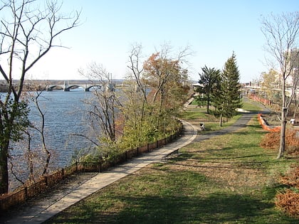
Nearby attractions include: MassMutual Center, Naismith Memorial Basketball Hall of Fame, Symphony Hall, Memorial Bridge.
Frequently Asked Questions (FAQ)
Which popular attractions are close to Court Square?
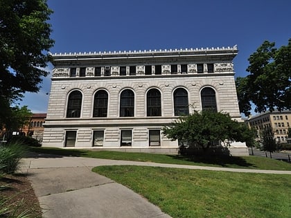
Nearby attractions include Springfield Municipal Group, Springfield (2 min walk), Hampden County Courthouse, Springfield (2 min walk), First Church of Christ, Springfield (3 min walk), French Congregational Church, Springfield (3 min walk).
How to get to Court Square by public transport?
The nearest stations to Court Square:
Train
Bus
Train
- Springfield (12 min walk)
Bus
- Berth 3 • Lines: P20 (12 min walk)
- Berth 2 • Lines: G1 (12 min walk)


