Missouri Pacific Bridge, Kansas City
Map

Map

Facts and practical information
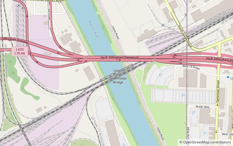
The Missouri Pacific Railroad bridge was built in 1909, by the MoPac. In 1984 it was merged with Union Pacific in the Missouri Pacific-Union Pacific merger. The bridge is upstream of I-670, over the Kansas River. It is open to traffic. ()
Opened: 1909 (117 years ago)Coordinates: 39°5'53"N, 94°36'44"W
Address
Downtown Kansas City (Central Industrial District)Kansas City
ContactAdd
Social media
Add
Day trips
Missouri Pacific Bridge – popular in the area (distance from the attraction)
Nearby attractions include: Cathedral of the Immaculate Conception, Grace and Holy Trinity Cathedral, Buck O'Neil Bridge, Strawberry Hill Museum and Cultural Center.
Frequently Asked Questions (FAQ)
Which popular attractions are close to Missouri Pacific Bridge?
Nearby attractions include Union Pacific Intermodal Bridge, Kansas City (1 min walk), I-670 Viaduct, Kansas City (2 min walk), Central Avenue Bridge, Kansas City (13 min walk), Rock Island Bridge, Kansas City (14 min walk).
How to get to Missouri Pacific Bridge by public transport?
The nearest stations to Missouri Pacific Bridge:
Bus
Bus
- 14th at Wyoming • Lines: 9 (12 min walk)
- Wyoming at 12th • Lines: 9 (13 min walk)


