Boerum Hill Historic District, New York City
Map
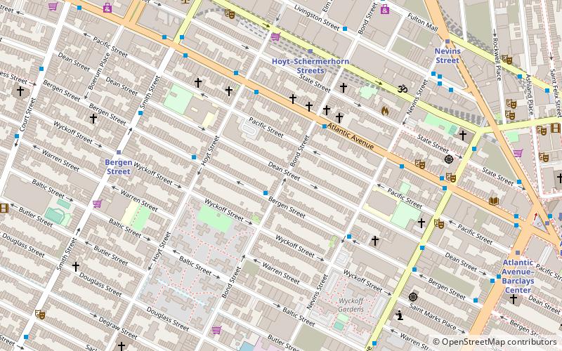
Map

Facts and practical information
Boerum Hill Historic District is a national historic district in Boerum Hill, Brooklyn, New York, New York. It originally consisted of 238 contributing residential rowhouses and a few commercial buildings built between 1845 and 1890. Most are three bay, three story brick buildings with projecting stoops in a Greek Revival or Italianate style. ()
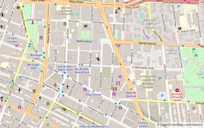
Built: 1845 (181 years ago)Architectural style: Renaissance revivalCoordinates: 40°41'8"N, 73°59'9"W
Address
South Brooklyn (Boerum Hill)New York City
ContactAdd
Social media
Add
Day trips
Boerum Hill Historic District – popular in the area (distance from the attraction)
Nearby attractions include: New York Transit Museum, Atlantic Terminal, Roulette, The Invisible Dog Art Center.
Frequently Asked Questions (FAQ)
Which popular attractions are close to Boerum Hill Historic District?
Nearby attractions include Boerum Hill, New York City (2 min walk), Cuyler Presbyterian Church, Sea Gate (3 min walk), Belarusian Autocephalous Orthodox Church, Sea Gate (4 min walk), St. Nicholas Antiochian Orthodox Cathedral, Sea Gate (5 min walk).
How to get to Boerum Hill Historic District by public transport?
The nearest stations to Boerum Hill Historic District:
Metro
Bus
Train
Ferry
Metro
- Hoyt–Schermerhorn Streets • Lines: A, C, G (6 min walk)
- Bergen Street • Lines: F, G (7 min walk)
Bus
- Greyhound (8 min walk)
- Myrtle Avenue & Saint Edwards Street • Lines: B54 (18 min walk)
Train
- Atlantic Terminal (12 min walk)
Ferry
- Pier 11/Wall Street Terminal (40 min walk)

 Subway
 Manhattan Buses


