Multnomah, Portland
Map
Map

Facts and practical information
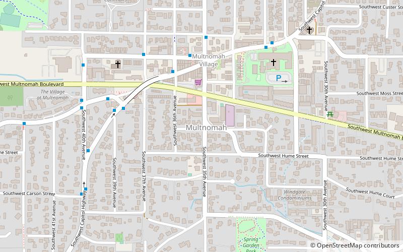
Multnomah is a neighborhood in the southwest section of Portland, Oregon, centered on the Multnomah Village business district. The community developed in the 1910s around a depot of the Oregon Electric Railway of the same name. It was annexed by the city of Portland on November 7, 1950. ()
Coordinates: 45°27'58"N, 122°42'47"W
Day trips
Multnomah – popular in the area (distance from the attraction)
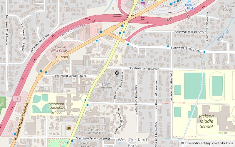
Nearby attractions include: Gabriel Park, 40-Mile Loop, Rizwan Mosque, Congregation Neveh Shalom.
Frequently Asked Questions (FAQ)
Which popular attractions are close to Multnomah?
Nearby attractions include Gabriel Park, Portland (15 min walk), Markham, Portland (18 min walk), Rizwan Mosque, Portland (23 min walk).
How to get to Multnomah by public transport?
The nearest stations to Multnomah:
Bus
Bus
- Southwest Capitol & 35th • Lines: 44, 45, 64 (4 min walk)
- Southwest 36th & Capitol Highway • Lines: 44, 64 (4 min walk)


