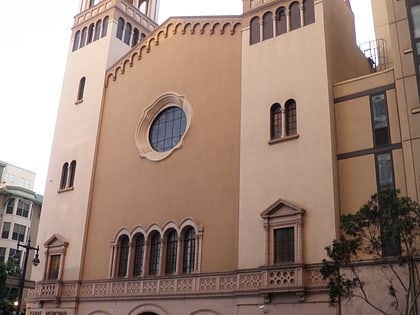
Tenderloin, San Francisco
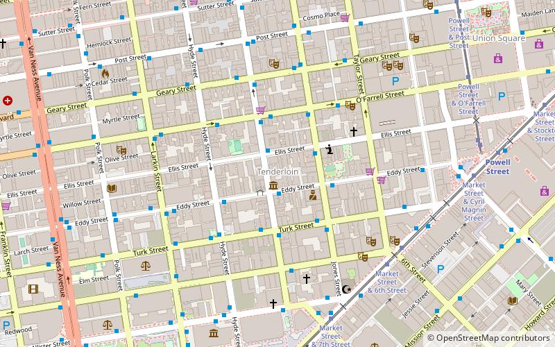
Facts and practical information
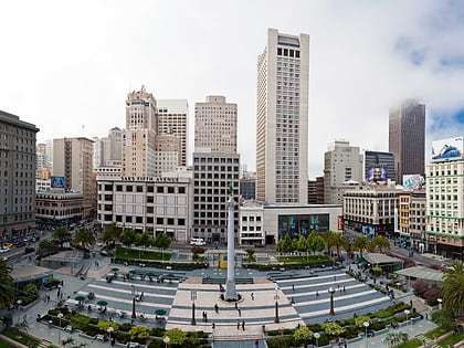
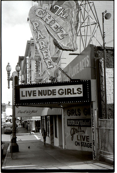
The Tenderloin is a neighborhood in downtown San Francisco, in the flatlands on the southern slope of Nob Hill, situated between the Union Square shopping district to the northeast and the Civic Center office district to the southwest. It encompasses about 50 square blocks, and is a large wedge/triangle in shape. It is historically bounded on the north by Geary Street, on the east by Mason Street, on the south by Market Street and on the west by Van Ness Avenue. The northern boundary with Lower Nob Hill historically has been set at Geary Street. The area has among the highest levels of homelessness and crime in the city. ()
Northeast San Francisco (Tenderloin)San Francisco
Tenderloin – popular in the area (distance from the attraction)
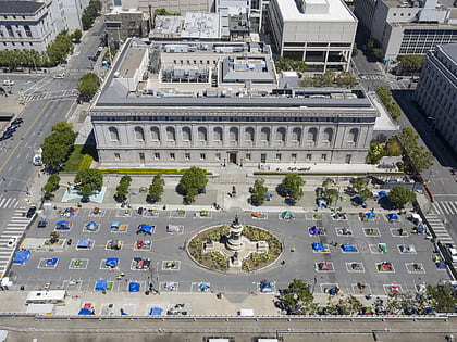
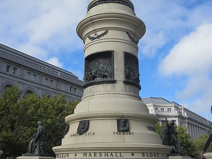
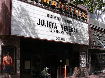
Nearby attractions include: Great American Music Hall, Asian Art Museum, Dewey Monument, Pioneer Monument.
Frequently Asked Questions (FAQ)
Which popular attractions are close to Tenderloin?
How to get to Tenderloin by public transport?
Bus
- Jones Street & Ellis Street • Lines: 27 (2 min walk)
- O'Farrell Street & Leavenworth Street • Lines: 38 (3 min walk)
Tram
- Market Street & 6th Street • Lines: F (7 min walk)
Metro
- Civic Center • Lines: Blue, Green, Red, Yellow (9 min walk)
- Powell Street • Lines: Blue, Green, Red, Yellow (10 min walk)
Light rail
- Civic Center • Lines: K, N, S, T (9 min walk)
- Powell Street • Lines: K, N, S, T (10 min walk)
Trolleybus
- Mission Street & 6th Street • Lines: 14 (10 min walk)
Train
- San Francisco 4th & King Street (30 min walk)
Ferry
- Ferry Building Gate B • Lines: San Francisco Bay Ferry (37 min walk)

 Muni Metro
