Collins Avenue, Miami Beach
Map
Gallery
Facts and practical information
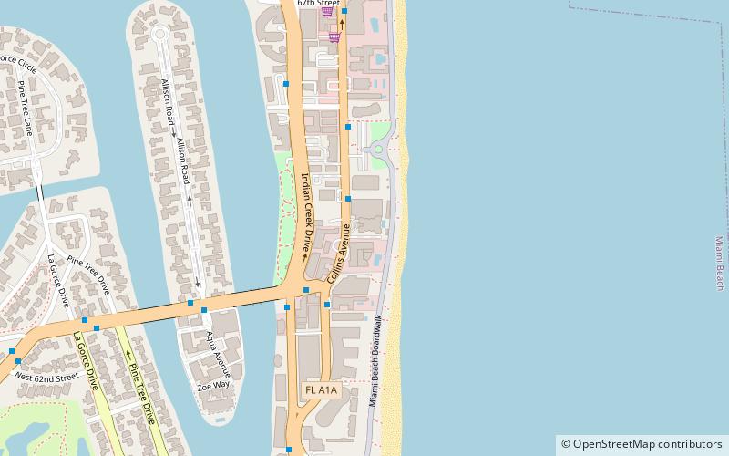
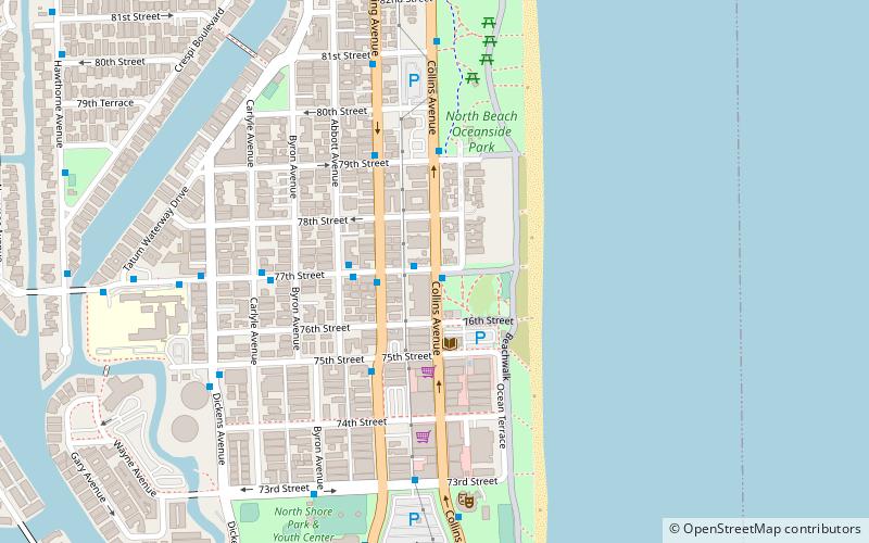
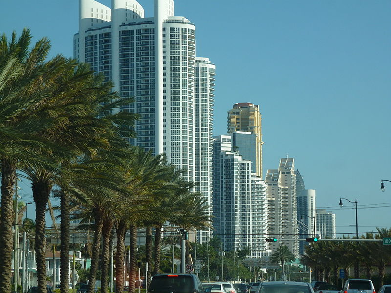
Collins Avenue, partly co-signed State Road A1A, is a major thoroughfare in South Florida. The road runs parallel to the Atlantic Ocean in Miami Beach, Florida, one block west. It also runs through the cities of Surfside and Sunny Isles Beach to the north. Collins Avenue was named for John S. Collins, a developer who, in 1913, completed Miami’s first bridge, Collins Bridge, connecting Miami Beach to the mainland across Biscayne Bay. ()
Length: 13.1 miCoordinates: 25°51'44"N, 80°7'16"W
Address
North Beach (North Shore)Miami Beach
ContactAdd
Social media
Add
Day trips
Collins Avenue – popular in the area (distance from the attraction)
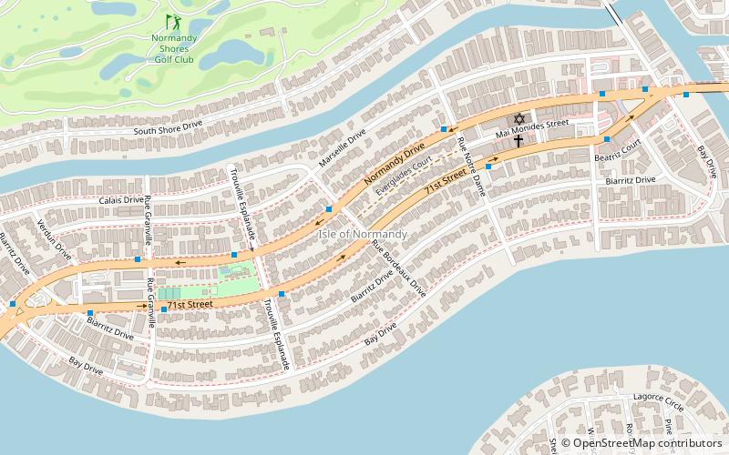
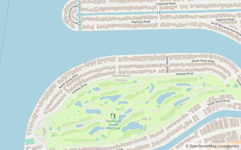
Nearby attractions include: Akoya Condominiums, Isle of Normandy, Biscayne Point, Normandy Shores.
Frequently Asked Questions (FAQ)
Which popular attractions are close to Collins Avenue?
Nearby attractions include North Beach, Miami Beach (13 min walk), Biscayne Point, Miami Beach (15 min walk).
How to get to Collins Avenue by public transport?
The nearest stations to Collins Avenue:
Bus
Bus
- Collins Avenue & 77th Street • Lines: 115, 119, 120 (1 min walk)
- 77th Street @ Collins Avenue • Lines: 115 (1 min walk)

