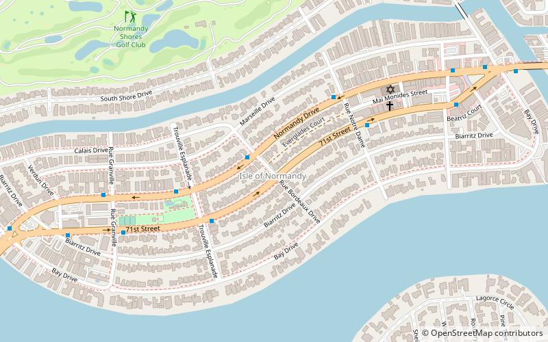
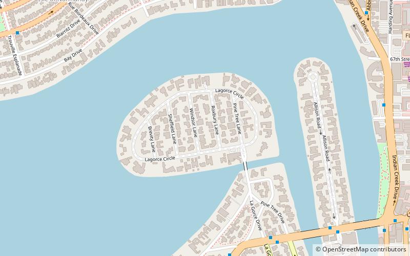
Isle of Normandy, Miami Beach
Map
Facts and practical information
Isle of Normandy or Normandy Island or Normandy Isles or Normandy Isle is a neighborhood of North Beach in the city of Miami Beach, Florida, United States. It is located along the eastern shore of Biscayne Bay. ()
Coordinates: 25°51'11"N, 80°8'6"W
Address
North Beach (Isle of Normandy)Miami Beach
ContactAdd
Social media
Add
Getting there by public transportation
Public transportation stops near this location
- Bus
 Bus
Bus
- Calculate route71st Street @ Rue Bordeaux Drive 1 min walk
- Calculate routeNormandy Drive @ Rue Notre Dame 5 min walk
Day trips


Frequently Asked Questions (FAQ)
Which popular attractions are close to Isle of Normandy?
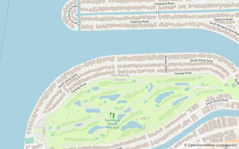
Nearby attractions include La Gorce Island, Miami Beach (13 min walk), Normandy Shores, Miami Beach (14 min walk), North Beach, Miami Beach (16 min walk), Normandy Shores Golf Club, Miami Beach (16 min walk).
How to get to Isle of Normandy by public transport?
The nearest stations to Isle of Normandy:
Bus
Bus
- 71st Street @ Rue Bordeaux Drive • Lines: 112 (1 min walk)
- Normandy Drive @ Rue Notre Dame • Lines: 112 (5 min walk)