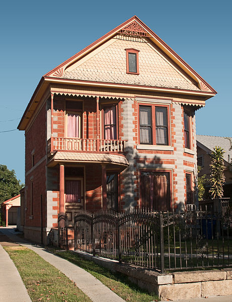
Lincoln Heights, Los Angeles

Gallery (4)
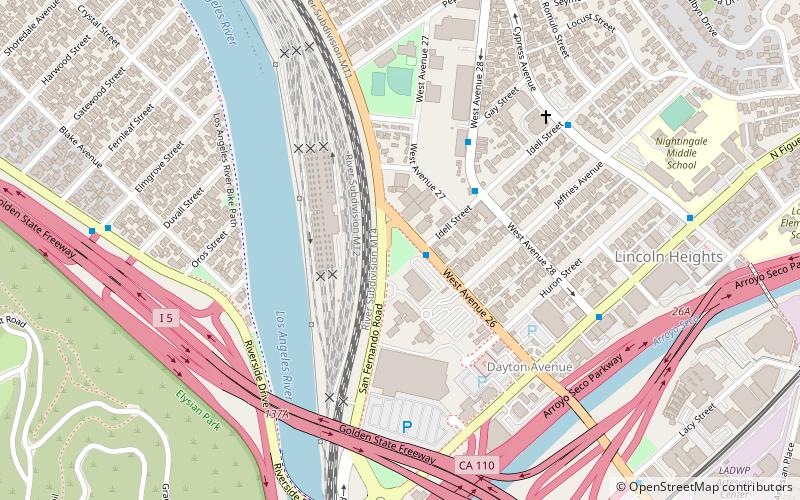
Map

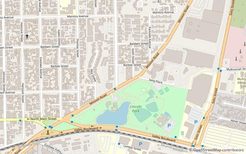
Map
Gallery
Facts and practical information
Lincoln Heights is one of the oldest neighborhoods in Los Angeles, California, United States. It was originally called "East Los Angeles" from 1873 to 1917. It is a densely populated, mostly Latino and Asian neighborhood. It includes many historic landmarks and was known as "the Bedroom of the Pueblo". ()
Getting there by public transportation
Public transportation stops near this location
- Bus
- Light rail
 Bus
Bus
- Calculate routeMetro 76 14 min walk
- Calculate routeLincoln/Cypress 20 min walk
- Calculate routeHeritage Square 25 min walk
Maps Metro & Regional Rail
Metro & Regional RailDay trips


Frequently Asked Questions (FAQ)
Which popular attractions are close to Lincoln Heights?
Nearby attractions include Historical monument One Fifty-Seven, Los Angeles (2 min walk), Lincoln Heights Branch Library, Los Angeles (8 min walk), Los Angeles Alligator Farm, Los Angeles (15 min walk), The Brewery, Los Angeles (21 min walk).
How to get to Lincoln Heights by public transport?
The nearest stations to Lincoln Heights:
Bus
Light rail
Bus
- Metro 76 • Lines: 76 (14 min walk)
Light rail
- Lincoln/Cypress • Lines: L (20 min walk)
- Heritage Square • Lines: L (25 min walk)