Los Angeles Alligator Farm, Los Angeles
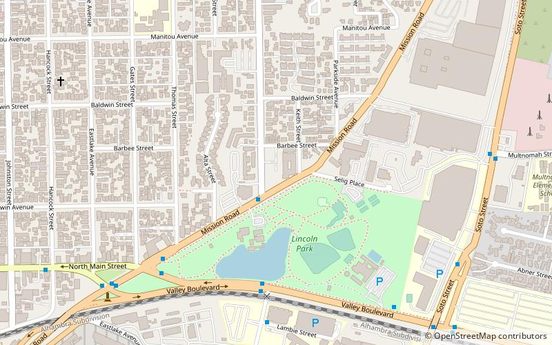
Map
Facts and practical information
The Los Angeles Alligator Farm, located next door to the Los Angeles Ostrich Farm in the Lincoln Heights neighborhood of Los Angeles, California, United States, was an alligator farm and a major city tourist attraction from 1907 until 1953. ()
Coordinates: 34°4'7"N, 118°12'7"W
Address
Eastside Los Angeles (Lincoln Heights)Los Angeles
ContactAdd
Social media
Add
Getting there by public transportation
Public transportation stops near this location
- Bus
- Light rail
 Bus
Bus
- Calculate routeMetro 76 10 min walk
- Calculate routeLincoln/Cypress 35 min walk
Maps Metro & Regional Rail
Metro & Regional RailDay trips


Frequently Asked Questions (FAQ)
Which popular attractions are close to Los Angeles Alligator Farm?
Nearby attractions include Lincoln Park, Los Angeles (7 min walk), Historical monument One Fifty-Seven, Los Angeles (14 min walk), Lincoln Heights, Los Angeles (15 min walk), Hazard Park, Los Angeles (17 min walk).
How to get to Los Angeles Alligator Farm by public transport?
The nearest stations to Los Angeles Alligator Farm:
Bus
Light rail
Bus
- Metro 76 • Lines: 76 (10 min walk)
Light rail
- Lincoln/Cypress • Lines: L (35 min walk)