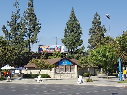
Riverside Community College District, Riverside
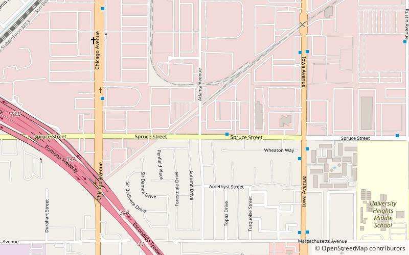
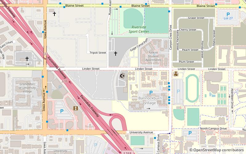
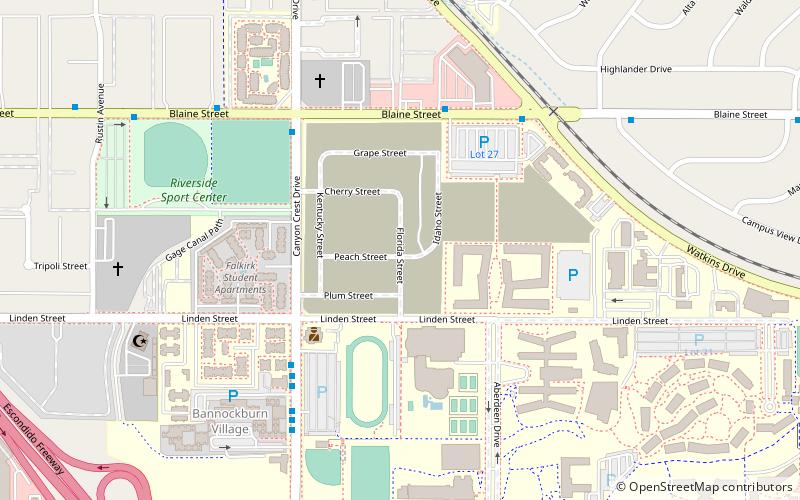
Map
Facts and practical information
The Riverside Community College District, or RCCD, is the community college district serving Riverside, California, United States, and neighboring cities. It is part of the California Community Colleges System. The California Community College system is a part of the state's three-tier public higher education system, which also includes the University of California system and California State University system. ()
Established: 1916 (110 years ago)Coordinates: 33°59'26"N, 117°20'38"W
Day trips
Riverside Community College District – popular in the area (distance from the attraction)
Nearby attractions include: Islamic Center of Riverside, Riverside International Automotive Museum, University of California, Bourns College of Engineering.
Frequently Asked Questions (FAQ)
How to get to Riverside Community College District by public transport?
The nearest stations to Riverside Community College District:
Train
Bus
Train
- Riverside–Hunter Park/UCR (20 min walk)
Bus
- University Ave and Iowa Ave • Lines: 1, 14, 16, 204, 51, 52, Gold (26 min walk)
- Iowa at University • Lines: 1, 16, 204, 52, Gold (28 min walk)
