Underground Atlanta, Atlanta
Map
Gallery

Facts and practical information
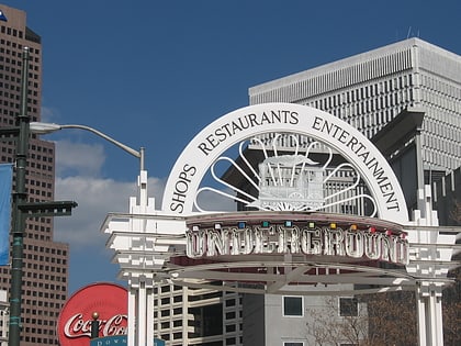
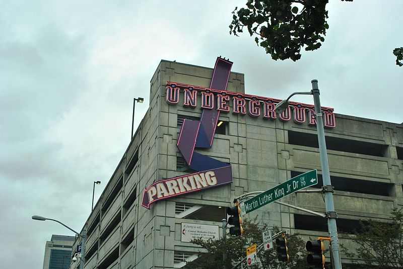
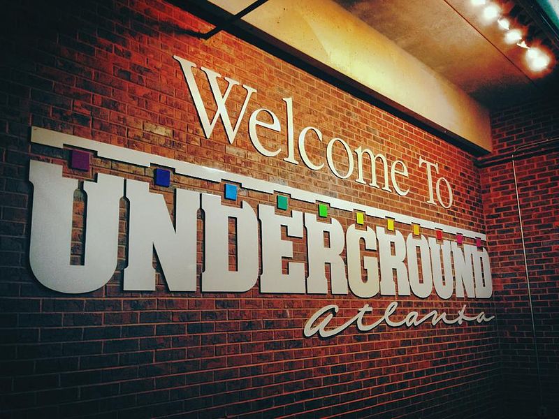
Underground Atlanta is a shopping and entertainment district in the Five Points neighborhood of downtown Atlanta, Georgia, United States, near the Five Points MARTA station. It is currently undergoing renovations. First opened in 1969, it takes advantage of the viaducts built over the city's many railroad tracks to accommodate later automobile traffic. ()
Coordinates: 33°45'10"N, 84°23'24"W
Day trips
Underground Atlanta – popular in the area (distance from the attraction)
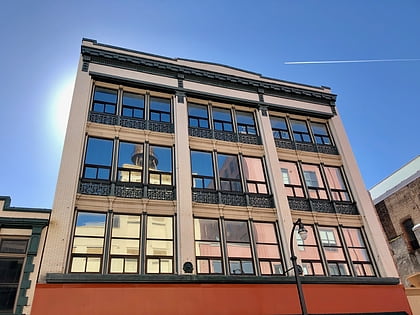
Nearby attractions include: Philips Arena, Centennial Olympic Park, M. Rich Building, Equestrian statue of John Brown Gordon.
Frequently Asked Questions (FAQ)
Which popular attractions are close to Underground Atlanta?
Nearby attractions include Atlanta Zero Mile Post, Atlanta (3 min walk), Whitehall Street Retail Historic District, Atlanta (3 min walk), Five Points, Atlanta (4 min walk), Edgewood Avenue, Atlanta (4 min walk).
How to get to Underground Atlanta by public transport?
The nearest stations to Underground Atlanta:
Metro
Tram
Bus
Metro
- Five Points • Lines: Blue, Gold, Green, Red (3 min walk)
- Georgia State • Lines: Blue, Green (8 min walk)
Tram
- Park Place • Lines: Atlanta Streetcar (6 min walk)
- Woodruff Park • Lines: Atlanta Streetcar (7 min walk)
Bus
- Atlanta Greyhound Bus Station (12 min walk)
