Five Points Monument, Atlanta
Map

Map

Facts and practical information
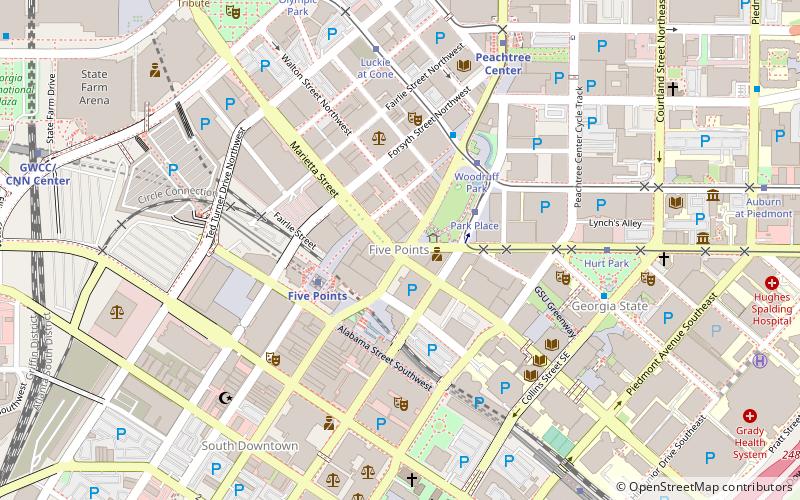
The Five Points Monument is a large public monument in Atlanta, Georgia, United States. Located in the Five Points district, the monument was designed by George Beasley and installed in 1996. ()
Coordinates: 33°45'16"N, 84°23'23"W
Address
Downtown Atlanta (Fairlie-Poplar)Atlanta
ContactAdd
Social media
Add
Day trips
Five Points Monument – popular in the area (distance from the attraction)
Nearby attractions include: Philips Arena, Centennial Olympic Park, M. Rich Building, Tabernacle Concert Hall.
Frequently Asked Questions (FAQ)
Which popular attractions are close to Five Points Monument?
Nearby attractions include Five Points, Atlanta (1 min walk), Edgewood Avenue, Atlanta (1 min walk), William–Oliver Building, Atlanta (1 min walk), Atlanta from the Ashes, Atlanta (1 min walk).
How to get to Five Points Monument by public transport?
The nearest stations to Five Points Monument:
Tram
Metro
Bus
Tram
- Park Place • Lines: Atlanta Streetcar (3 min walk)
- Woodruff Park • Lines: Atlanta Streetcar (4 min walk)
Metro
- Five Points • Lines: Blue, Gold, Green, Red (3 min walk)
- Peachtree Center • Lines: Gold, Red (9 min walk)
Bus
- Atlanta Greyhound Bus Station (15 min walk)
- Village Smoke • Lines: Blue Route (28 min walk)


