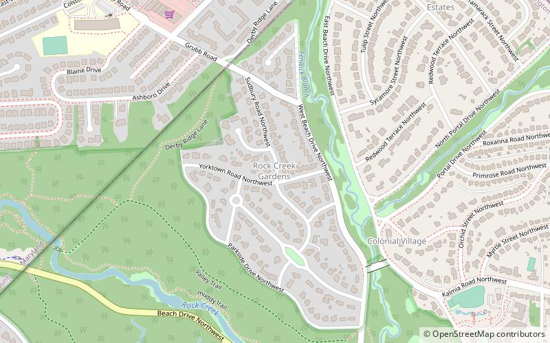
Rock Creek Gardens, Washington D.C.
Map
Facts and practical information
Rock Creek Gardens is an affluent residential neighborhood in Northwest, Washington, D.C. ()
Coordinates: 38°59'19"N, 77°2'44"W
Address
Northwest Washington (Colonial Village - Shepherd Park)Washington D.C.
ContactAdd
Social media
Add
Getting there by public transportation
Public transportation stops near this location
- Metro
- Bus
- Train
 Metro
Metro
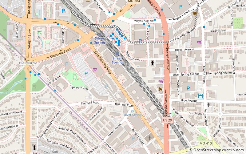
- Calculate routeSilver Spring 22 min walk
- Calculate routeSilver Spring 23 min walk
- Calculate routeBay 218 23 min walk
- Calculate routeBay 219 23 min walk
- Calculate routeBay 105 23 min walk
- Calculate routeBay 102 23 min walk
Day trips


Frequently Asked Questions (FAQ)
Which popular attractions are close to Rock Creek Gardens?
Nearby attractions include North Portal Estates, Washington D.C. (11 min walk), National Synagogue, Washington D.C. (14 min walk), Zenith Gallery, Washington D.C. (19 min walk), Hawthorne, Washington D.C. (20 min walk).
How to get to Rock Creek Gardens by public transport?
The nearest stations to Rock Creek Gardens:
Metro
Train
Bus
Metro
- Silver Spring • Lines: Rd (22 min walk)
Train
- Silver Spring (23 min walk)
Bus
- Bay 218 • Lines: Q1, Q2, Q4 (23 min walk)
- Bay 219 • Lines: Y2, Y7, Y8 (23 min walk)