Canal Streetcar Line, New Orleans
Facts and practical information
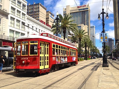
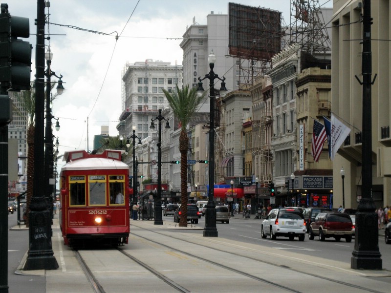
The Canal Streetcar line is a historic streetcar line in New Orleans, Louisiana. It is operated by the New Orleans Regional Transit Authority. It originally operated from 1861 to 1964. It was redesigned and rebuilt between 2000 and 2004, and operation was reinstated in 2004 after a 40-year hiatus. Primarily running along its namesake street, Canal Street, it consists of two branches named for their outer terminals, totaling about 5+1⁄2 miles in length: "Canal - Cemeteries" and "Canal - City Park/Museum". Each branch is denoted with the red and light green colors respectively on most RTA publications. ()
Canal StreetFrench Quarter - CBD (Central Business District)New Orleans
Canal Streetcar Line – popular in the area (distance from the attraction)
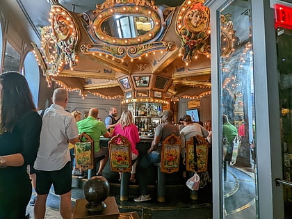
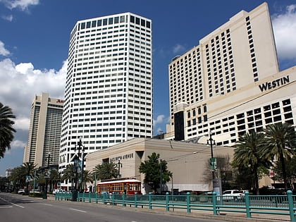
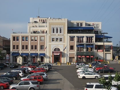
Nearby attractions include: Carousel Bar, Aquarium of the Americas, One Canal Place, Woldenberg Riverfront Park.
Frequently Asked Questions (FAQ)
Which popular attractions are close to Canal Streetcar Line?
How to get to Canal Streetcar Line by public transport?
Tram
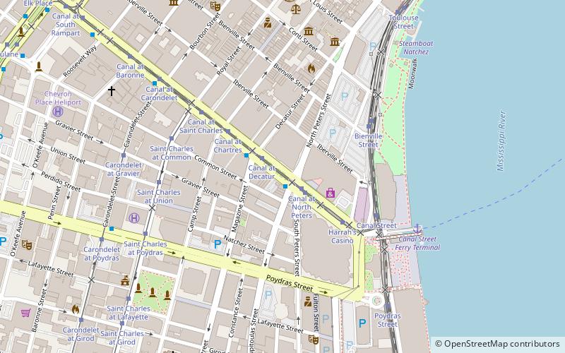
- Canal at North Peters • Lines: 2 (2 min walk)
Train
- New Orleans (21 min walk)
Bus
- New Orleans Union Passenger Terminal (21 min walk)
- FlixBus New Orleans • Lines: 2210, 2211, 2221 (31 min walk)
