Civic Center, Denver

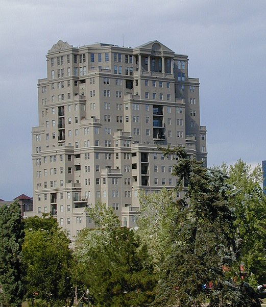
Gallery (2)
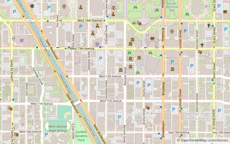
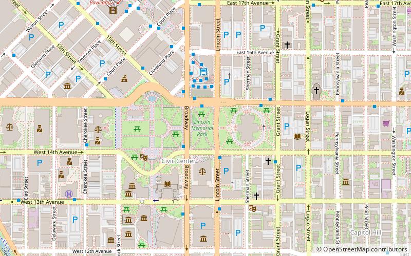
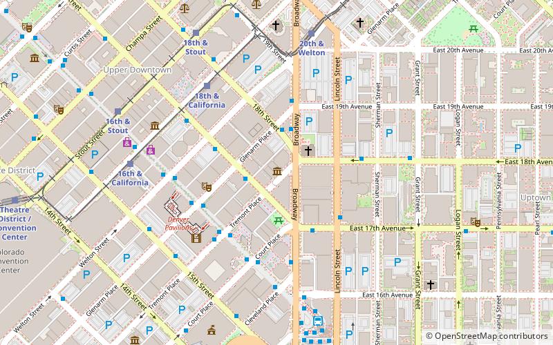
Map
Map
Gallery
Facts and practical information
Civic Center, Denver is a neighborhood in Denver, Colorado, United States. The northern part of the neighborhood overlaps partially with the Denver Civic Center, an area of parks and civic buildings. ()
Coordinates: 39°44'8"N, 104°59'28"W
Address
Central Denver (Downtown Denver)Denver
ContactAdd
Social media
Add
Getting there by public transportation
Public transportation stops near this location
- Bus
- Light rail
 Bus
Bus
- Calculate routeWest 13th Avenue & Cherokee Street 3 min walk
- Calculate routeBroadway & West 13th Avenue 5 min walk
- Calculate routeTheatre District / Convention Center 17 min walk
- Calculate route16th & California 17 min walk
- Calculate routeColfax at Auraria 18 min walk
Day trips


Frequently Asked Questions (FAQ)
Which popular attractions are close to Civic Center?
Nearby attractions include Kirkland Museum of Fine & Decorative Art, Denver (1 min walk), Clyfford Still Museum, Denver (2 min walk), The Counterterrorism Education Learning Lab, Denver (3 min walk), Byers-Evans House Museum, Denver (4 min walk).
How to get to Civic Center by public transport?
The nearest stations to Civic Center:
Bus
Light rail
Bus
- West 13th Avenue & Cherokee Street • Lines: 9 (3 min walk)
- Broadway & West 13th Avenue • Lines: , Ev (5 min walk)
Light rail
- Theatre District / Convention Center • Lines: D, F, H (17 min walk)
- 16th & California • Lines: D, F, H, L (17 min walk)