Grays Peak, Arapaho National Forest
Map
Gallery
Facts and practical information
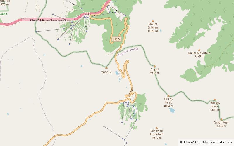
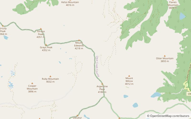
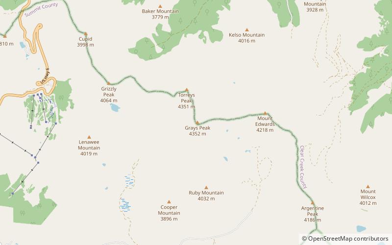
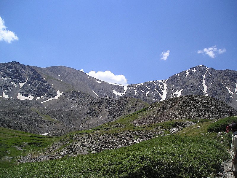
Grays Peak is the tenth-highest summit of the Rocky Mountains of North America and the U.S. state of Colorado. The prominent 14,278-foot fourteener is the highest summit of the Front Range and the highest point on the Continental Divide and the Continental Divide Trail in North America. Grays Peak is located in Arapahoe National Forest, 3.9 miles southeast by east of Loveland Pass on the Continental Divide between Clear Creek and Summit counties. The peak is the highest point in both counties. ()
Address
Arapaho National Forest
ContactAdd
Social media
Add
Day trips
Grays Peak – popular in the area (distance from the attraction)
Nearby attractions include: Loveland Ski Area, Pass Lake, Torreys Peak, American Discovery Trail.
Frequently Asked Questions (FAQ)
Which popular attractions are close to Grays Peak?
Nearby attractions include Front Range, Arapaho National Forest (2 min walk), Torreys Peak, Arapaho National Forest (17 min walk).


