South Trenton, Trenton

Gallery (2)
Map
Map
Gallery
Facts and practical information
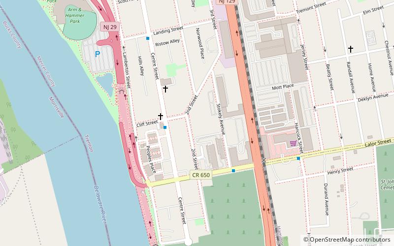
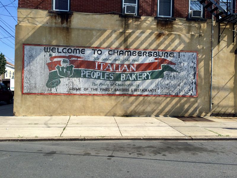
South Trenton is a neighborhood located within the city of Trenton in Mercer County, New Jersey, United States. It is home to Italian Americans, Latin Americans, Irish Americans and their descendants. South Trenton is Trenton's most diverse neighborhood and borders Hamilton Township to the Southeast and the Delaware River to the West. It had a brief existence as an independent municipality from 1840 to 1851. ()
Coordinates: 40°11'59"N, 74°45'20"W
Address
South TrentonTrenton
ContactAdd
Social media
Add
Getting there by public transportation
Public transportation stops near this location
- Light rail
 Light rail
- Calculate routeCass Street 11 min walk
- Calculate routeHamilton Avenue 22 min walk
Day trips


Frequently Asked Questions (FAQ)
Which popular attractions are close to South Trenton?
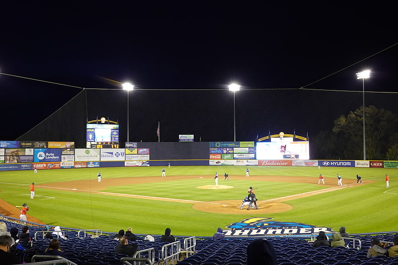
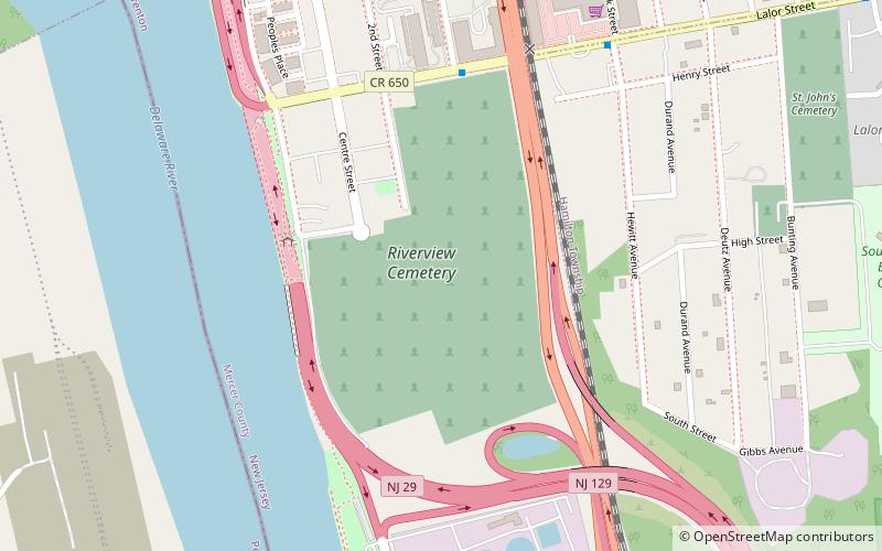
Nearby attractions include Riverview Cemetery, Trenton (9 min walk), Trenton Thunder Ballpark, Trenton (10 min walk), In and Out Social Club, Trenton (18 min walk), Trenton Ferry Historic District, Trenton (19 min walk).
How to get to South Trenton by public transport?
The nearest stations to South Trenton:
Light rail
Light rail
- Cass Street • Lines: River Line (11 min walk)
- Hamilton Avenue • Lines: River Line (22 min walk)