College Park, Orlando

Map
Facts and practical information
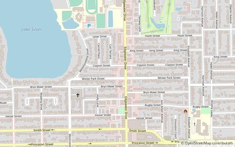
College Park is a distinct neighborhood within the city of Orlando, Florida, deriving its name from the many streets within its bounds that were named for institutions of higher learning such as Princeton, Harvard, and Yale. Its close proximity to downtown has made it a popular residential area for over a century among seniors and young professionals. According to the 2000 census, most residents are of working age and are homeowners. Of them, 65.5% of households have no children. ()
Coordinates: 28°34'32"N, 81°23'24"W
Address
College ParkOrlando
ContactAdd
Social media
Add
Day trips
College Park – popular in the area (distance from the attraction)
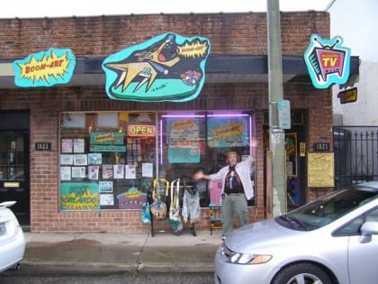
Nearby attractions include: Dubsdread Golf Course, Boom-Art by Rogers Studio, Jack Kerouac House, Theatre Downtown.
Frequently Asked Questions (FAQ)
Which popular attractions are close to College Park?
Nearby attractions include Lake Ivanhoe Historic Residential District, Orlando (20 min walk), Jack Kerouac House, Orlando (20 min walk).
How to get to College Park by public transport?
The nearest stations to College Park:
Train
Train
- AdventHealth (30 min walk)


