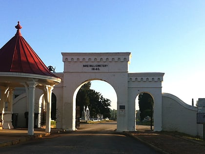
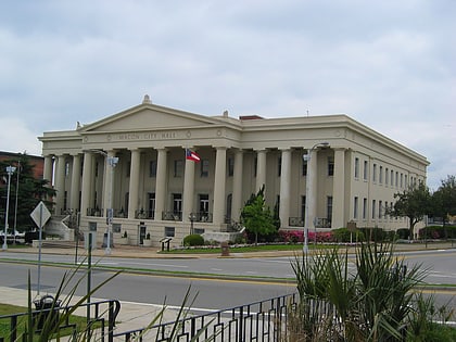
Central City Park Bandstand, Macon
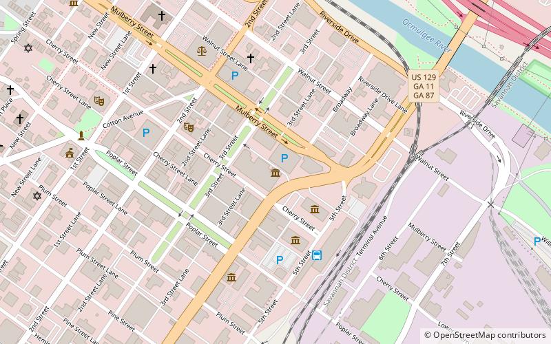
Map
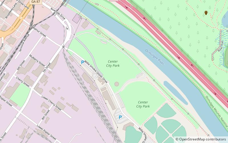
Map

Facts and practical information
The Central City Park Bandstand is a hexagonal bandstand in Central City Park in Macon, Georgia that was built in 1871. It was listed on the National Register of Historic Places on March 16, 1972. The bandstand is located at the eastern terminus of Riverside Drive in Central City Park. ()
Built: 1871 (155 years ago)Coordinates: 32°49'59"N, 83°36'55"W
Address
Macon
ContactAdd
Social media
Add
Day trips
Central City Park Bandstand – popular in the area (distance from the attraction)
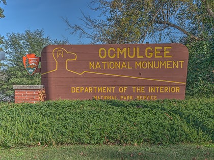
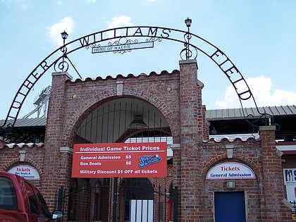
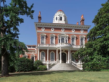
Nearby attractions include: Ocmulgee National Monument, Luther Williams Field, Hay House, Cox Capitol Theatre.
Frequently Asked Questions (FAQ)
Which popular attractions are close to Central City Park Bandstand?
Nearby attractions include Luther Williams Field, Macon (8 min walk), Georgia Music Hall of Fame, Macon (12 min walk), Georgia Sports Hall of Fame, Macon (14 min walk), Tubman Museum, Macon (15 min walk).
How to get to Central City Park Bandstand by public transport?
The nearest stations to Central City Park Bandstand:
Bus
Bus
- Terminal Station (14 min walk)

